

Túra Írot-kőre 2012 - rossz
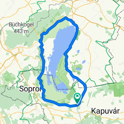
A cycling route starting in Fertőd, Győr-Moson-Sopron, Hungary.
Overview
About this route
One of, if not the toughest tour I’ve completed this year. Lots of hills, mountains, climbs. Irottkő didn’t give in easily. :) During the tour, there were also quite a few good detours.. (about 25 km..), The road was fully paved except for the one leading up to the mountain viewpoint, which branches off from road 56 and then descends down the Hungarian side to the concrete road. On the Austrian side, the quality of the asphalt road is incredibly good, while the Hungarian side is dangerously poor in quality. Not to mention the driving in the two countries.. In terms of signage, you really have to pay attention everywhere !!!
- -:--
- Duration
- 177.6 km
- Distance
- 982 m
- Ascent
- 982 m
- Descent
- ---
- Avg. speed
- ---
- Max. altitude

Route highlights
Points of interest along the route
Point of interest after 34.7 km
Itt kellett volna átjönni a határon.. (amit néztem nyomtatott térképet a másik út nem is létezik...)
Point of interest after 37 km
Az első eltévesztés
Point of interest after 42 km
Ez lett volna a jó "korrigált" út, ha lett volna nálam térkép és esetleg ki lett volna táblázva Lutzmanssburg..
Point of interest after 49.4 km
Szerencsére a felkelő nap, és a környék legmagasabb pontja, az uticél, Írott-kő látszik mindenhonnét, és jó iránymutatás volt.. ;)
Point of interest after 66.3 km
A 2. eltévedés.. mivel erre kellett volna jönni.. Őszintén szólva nem tudom hol lett volna az elágazás..
Point of interest after 83.8 km
3. eltévedés: hát a fene se hinné, hogy egy kitáblázott bicikli út ennyire összevissza megy...
Point of interest after 99 km
Írott-kő (882m) --- 3xHurrá!! :)
Point of interest after 131.5 km
4. eltévedés: nevezzük városnézésnek... Sopron,Bük fele kell menni, a 87-esről ki van tiltva a bringa, uh egy pár száz m-es bicikli tolás beficcent a vasútállomás és az elágazás közt :D
Continue with Bikemap
Use, edit, or download this cycling route
You would like to ride Túra Írot-kőre 2012 - rossz or customize it for your own trip? Here is what you can do with this Bikemap route:
Free features
- Save this route as favorite or in collections
- Copy & plan your own version of this route
- Split it into stages to create a multi-day tour
- Sync your route with Garmin or Wahoo
Premium features
Free trial for 3 days, or one-time payment. More about Bikemap Premium.
- Navigate this route on iOS & Android
- Export a GPX / KML file of this route
- Create your custom printout (try it for free)
- Download this route for offline navigation
Discover more Premium features.
Get Bikemap PremiumFrom our community
Other popular routes starting in Fertőd
 1/4 Fertő tó*2
- Distance
- 60.1 km
- Ascent
- 186 m
- Descent
- 186 m
- Location
- Fertőd, Győr-Moson-Sopron, Hungary
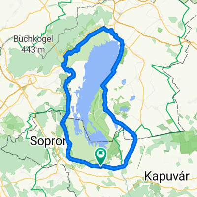
 Fertő-tó körül
- Distance
- 119.1 km
- Ascent
- 149 m
- Descent
- 149 m
- Location
- Fertőd, Győr-Moson-Sopron, Hungary
 1102 NEZIDERSKÉ JEZERO, HRADY, VÍNO A TERMÁLY NA KOLE
- Distance
- 158.3 km
- Ascent
- 392 m
- Descent
- 388 m
- Location
- Fertőd, Győr-Moson-Sopron, Hungary
 Fertő tó kerülés
- Distance
- 112.3 km
- Ascent
- 134 m
- Descent
- 134 m
- Location
- Fertőd, Győr-Moson-Sopron, Hungary
 Route to Fertőd
- Distance
- 115.1 km
- Ascent
- 468 m
- Descent
- 468 m
- Location
- Fertőd, Győr-Moson-Sopron, Hungary
 Neusiedlerseerunde/Austria-Ungarn
- Distance
- 118.2 km
- Ascent
- 148 m
- Descent
- 149 m
- Location
- Fertőd, Győr-Moson-Sopron, Hungary
 Villa Vita - Sopron - Vasfüggöny kör
- Distance
- 82.4 km
- Ascent
- 645 m
- Descent
- 646 m
- Location
- Fertőd, Győr-Moson-Sopron, Hungary
 Villa Vita - Fertőtó kerülés
- Distance
- 112.3 km
- Ascent
- 320 m
- Descent
- 319 m
- Location
- Fertőd, Győr-Moson-Sopron, Hungary
Open it in the app