

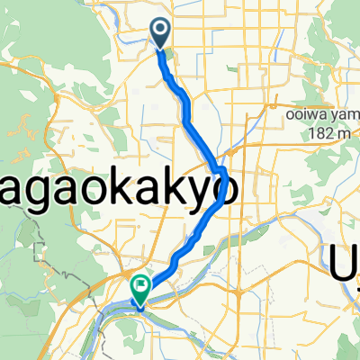
27−13 まで27−13
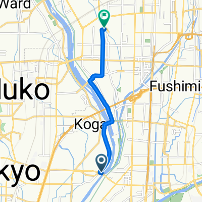
A cycling route starting in Mukō, Kyoto, Japan.
Overview
About this route
- 1 h 23 min
- Duration
- 13.7 km
- Distance
- 35 m
- Ascent
- 78 m
- Descent
- 10 km/h
- Avg. speed
- 67 m
- Max. altitude

Route quality
Waytypes & surfaces along the route
Waytypes
Road
4 km
(29 %)
Pedestrian area
3.2 km
(23 %)
Surfaces
Paved
5.6 km
(41 %)
Asphalt
5.6 km
(41 %)
Undefined
8.1 km
(59 %)
Continue with Bikemap
Use, edit, or download this cycling route
You would like to ride 27−13 まで27−13 or customize it for your own trip? Here is what you can do with this Bikemap route:
Free features
- Save this route as favorite or in collections
- Copy & plan your own version of this route
- Sync your route with Garmin or Wahoo
Premium features
Free trial for 3 days, or one-time payment. More about Bikemap Premium.
- Navigate this route on iOS & Android
- Export a GPX / KML file of this route
- Create your custom printout (try it for free)
- Download this route for offline navigation
Discover more Premium features.
Get Bikemap PremiumFrom our community
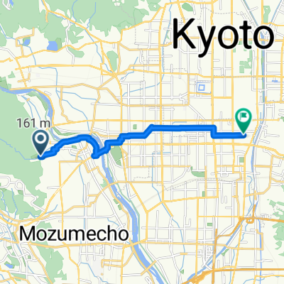
Other popular routes starting in Mukō
 桂川~さくらであい館
- Distance
- 14.9 km
- Ascent
- 52 m
- Descent
- 69 m
- Location
- Mukō, Kyoto, Japan
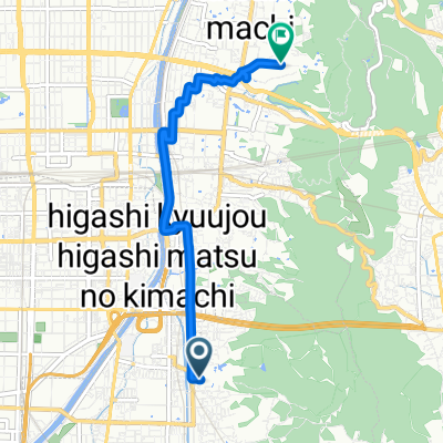
 27−5 まで京都市
- Distance
- 7.2 km
- Ascent
- 24 m
- Descent
- 61 m
- Location
- Mukō, Kyoto, Japan
 Route in Osaka
- Distance
- 9.6 km
- Ascent
- 32 m
- Descent
- 51 m
- Location
- Mukō, Kyoto, Japan
 Fushimi Inari Taisha to Kiyomizu-dera
- Distance
- 5 km
- Ascent
- 56 m
- Descent
- 17 m
- Location
- Mukō, Kyoto, Japan
 Kyoto - Sakurai (Keinawa cycling road)
- Distance
- 81.1 km
- Ascent
- 611 m
- Descent
- 568 m
- Location
- Mukō, Kyoto, Japan
 羽束師橋, 京都市へ吉祥院御池町, 京都市
- Distance
- 6.3 km
- Ascent
- 14 m
- Descent
- 7 m
- Location
- Mukō, Kyoto, Japan
 Day 598
- Distance
- 62.6 km
- Ascent
- 116 m
- Descent
- 73 m
- Location
- Mukō, Kyoto, Japan
 812, Kuzekamikuzecho, Minami, Kyoto to 45-20, Sagatenryujisusukinobabacho, Ukyo, Kyoto
- Distance
- 11.5 km
- Ascent
- 38 m
- Descent
- 17 m
- Location
- Mukō, Kyoto, Japan
Open it in the app