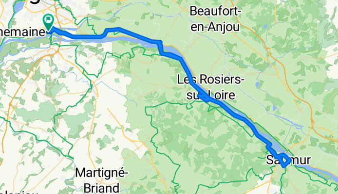


27.6. Saumur
- 101.5 km
- 195 m
- 195 m
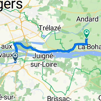
- Les Ponts-de-Cé, Pays de la Loire Region, France
A cycling route starting in Les Ponts-de-Cé, Pays de la Loire Region, France.
Overview
Nyt ylävirtaan. Alkumatka poljetaan enimmäkseen pitkin kyläteitä St.Mathuriniin saakka, jossa vaihdetaan joen toiselle puolelle. Matkalla nähdään kukkapeltoja ja viljavainioita sekä uinuvia pikkukyliä, joissa tuntuu olevan hereillä vain talojen vahtikoirat. Ennen Gennesiä ohitetaan muutama aivan joen rannalla oleva terassimainen pikkukaupunki. Pyöräteitä ei ole, eikä edes pientareita kuin jossain harvassa paikassa, mutta maisema on kaunis ja autot antavat tietä paremmin kuin Suomessa. Täällä ei edes yritetä saada mahtumaan pyöräilijää kahden auton kanssa samaan kohtaan tiellä. Gennesissä harhaillaan tovi ruokapaikan haussa. Viimein sellainen löytyy muutaman kilometrin päästä Saumurin suuntaan. Ravintola on luolassa, ja listalla on sienilajitelmaa. Ehkä on parempikin, että sisällä on hämärää. Ei aina tarvitse nähdä, mitä syö... Saumurissa on tauko ja paluumatka tehdään menoamtkan reittiä. Nyt myötätuuleen ja ilmeisesti myös alamäkeen, koska mennessä poljimme ylävirtaan.
created this 13 years ago
Route quality
Quiet road
37.6 km
(37 %)
Road
22.3 km
(22 %)
Paved
90.3 km
(89 %)
Unpaved
3 km
(3 %)
Asphalt
88.3 km
(87 %)
Paved (undefined)
1 km
(1 %)
Continue with Bikemap
You would like to ride 27.6. Saumur or customize it for your own trip? Here is what you can do with this Bikemap route:
Free trial for 3 days, or one-time payment. More about Bikemap Premium.
Discover more Premium features.
Get Bikemap PremiumFrom our community
Open it in the app