

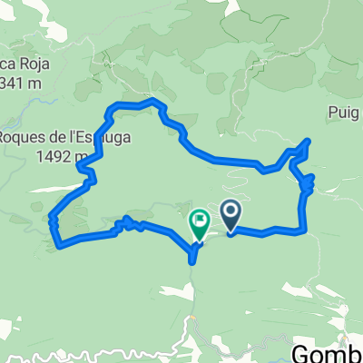
Carretera de Montgrony to Carretera de Montgrony
A cycling route starting in Planoles, Catalonia, Spain.
Overview
About this route
- -:--
- Duration
- 13.6 km
- Distance
- 812 m
- Ascent
- 813 m
- Descent
- ---
- Avg. speed
- 2,052 m
- Max. altitude

Continue with Bikemap
Use, edit, or download this cycling route
You would like to ride Carretera de Montgrony to Carretera de Montgrony or customize it for your own trip? Here is what you can do with this Bikemap route:
Free features
- Save this route as favorite or in collections
- Copy & plan your own version of this route
- Sync your route with Garmin or Wahoo
Premium features
Free trial for 3 days, or one-time payment. More about Bikemap Premium.
- Navigate this route on iOS & Android
- Export a GPX / KML file of this route
- Create your custom printout (try it for free)
- Download this route for offline navigation
Discover more Premium features.
Get Bikemap PremiumFrom our community
Other popular routes starting in Planoles
 PLANOLES - RIERA MERLES - STQ.
- Distance
- 201.3 km
- Ascent
- 4,446 m
- Descent
- 5,455 m
- Location
- Planoles, Catalonia, Spain
 Refugi a Sant quirze de besora
- Distance
- 67.9 km
- Ascent
- 765 m
- Descent
- 1,420 m
- Location
- Planoles, Catalonia, Spain
 collet-km6
- Distance
- 9.7 km
- Ascent
- 308 m
- Descent
- 339 m
- Location
- Planoles, Catalonia, Spain
 Planoles - Vilallonga de Ter
- Distance
- 29.4 km
- Ascent
- 784 m
- Descent
- 896 m
- Location
- Planoles, Catalonia, Spain
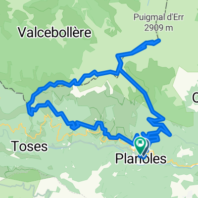 Planoles-Puigmal-Planoles
- Distance
- 45 km
- Ascent
- 1,825 m
- Descent
- 1,809 m
- Location
- Planoles, Catalonia, Spain
 Испания 2
- Distance
- 866.1 km
- Ascent
- 2,330 m
- Descent
- 4,378 m
- Location
- Planoles, Catalonia, Spain
 Vial Camino to Vial Camino
- Distance
- 10.9 km
- Ascent
- 620 m
- Descent
- 622 m
- Location
- Planoles, Catalonia, Spain
 Carretera de Montgrony to Carretera de Montgrony
- Distance
- 13.6 km
- Ascent
- 812 m
- Descent
- 813 m
- Location
- Planoles, Catalonia, Spain
Open it in the app