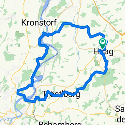
haag-gresten-haag
A cycling route starting in Haag, Lower Austria, Austria.
Overview
About this route
- -:--
- Duration
- 124.5 km
- Distance
- 1,848 m
- Ascent
- 1,846 m
- Descent
- ---
- Avg. speed
- 752 m
- Max. altitude
Route quality
Waytypes & surfaces along the route
Waytypes
Road
56 km
(45 %)
Quiet road
6.2 km
(5 %)
Surfaces
Paved
94.6 km
(76 %)
Asphalt
94.6 km
(76 %)
Undefined
29.9 km
(24 %)
Continue with Bikemap
Use, edit, or download this cycling route
You would like to ride haag-gresten-haag or customize it for your own trip? Here is what you can do with this Bikemap route:
Free features
- Save this route as favorite or in collections
- Copy & plan your own version of this route
- Split it into stages to create a multi-day tour
- Sync your route with Garmin or Wahoo
Premium features
Free trial for 3 days, or one-time payment. More about Bikemap Premium.
- Navigate this route on iOS & Android
- Export a GPX / KML file of this route
- Create your custom printout (try it for free)
- Download this route for offline navigation
Discover more Premium features.
Get Bikemap PremiumFrom our community
Other popular routes starting in Haag
- Haager Moststrassen Einzelzeitfahren 2020
- Distance
- 21.6 km
- Ascent
- 121 m
- Descent
- 123 m
- Location
- Haag, Lower Austria, Austria
- Haag-Thailing
- Distance
- 80.1 km
- Ascent
- 725 m
- Descent
- 726 m
- Location
- Haag, Lower Austria, Austria
- amstetten
- Distance
- 96.1 km
- Ascent
- 841 m
- Descent
- 844 m
- Location
- Haag, Lower Austria, Austria
- Haag Walking 1
- Distance
- 5.2 km
- Ascent
- 67 m
- Descent
- 60 m
- Location
- Haag, Lower Austria, Austria
- Mostviertelrunde
- Distance
- 76.9 km
- Ascent
- 1,282 m
- Descent
- 1,268 m
- Location
- Haag, Lower Austria, Austria
- Stadt Haag
- Distance
- 42.8 km
- Ascent
- 287 m
- Descent
- 256 m
- Location
- Haag, Lower Austria, Austria
- Mostviertelrunde inkl. Panorama Höhenstraße
- Distance
- 97.7 km
- Ascent
- 1,028 m
- Descent
- 1,029 m
- Location
- Haag, Lower Austria, Austria
- 2019_MW_Haag, Amstetten
- Distance
- 59.7 km
- Ascent
- 425 m
- Descent
- 422 m
- Location
- Haag, Lower Austria, Austria
Open it in the app