

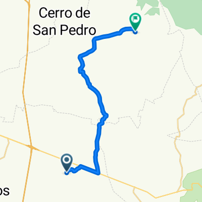
De Nacozari a Calle Bajada Del Molino 6A
A cycling route starting in Ciudad Satélite, San Luis Potosí, Mexico.
Overview
About this route
- 1 h 9 min
- Duration
- 18.9 km
- Distance
- 292 m
- Ascent
- 122 m
- Descent
- 16.4 km/h
- Avg. speed
- 2,061 m
- Max. altitude
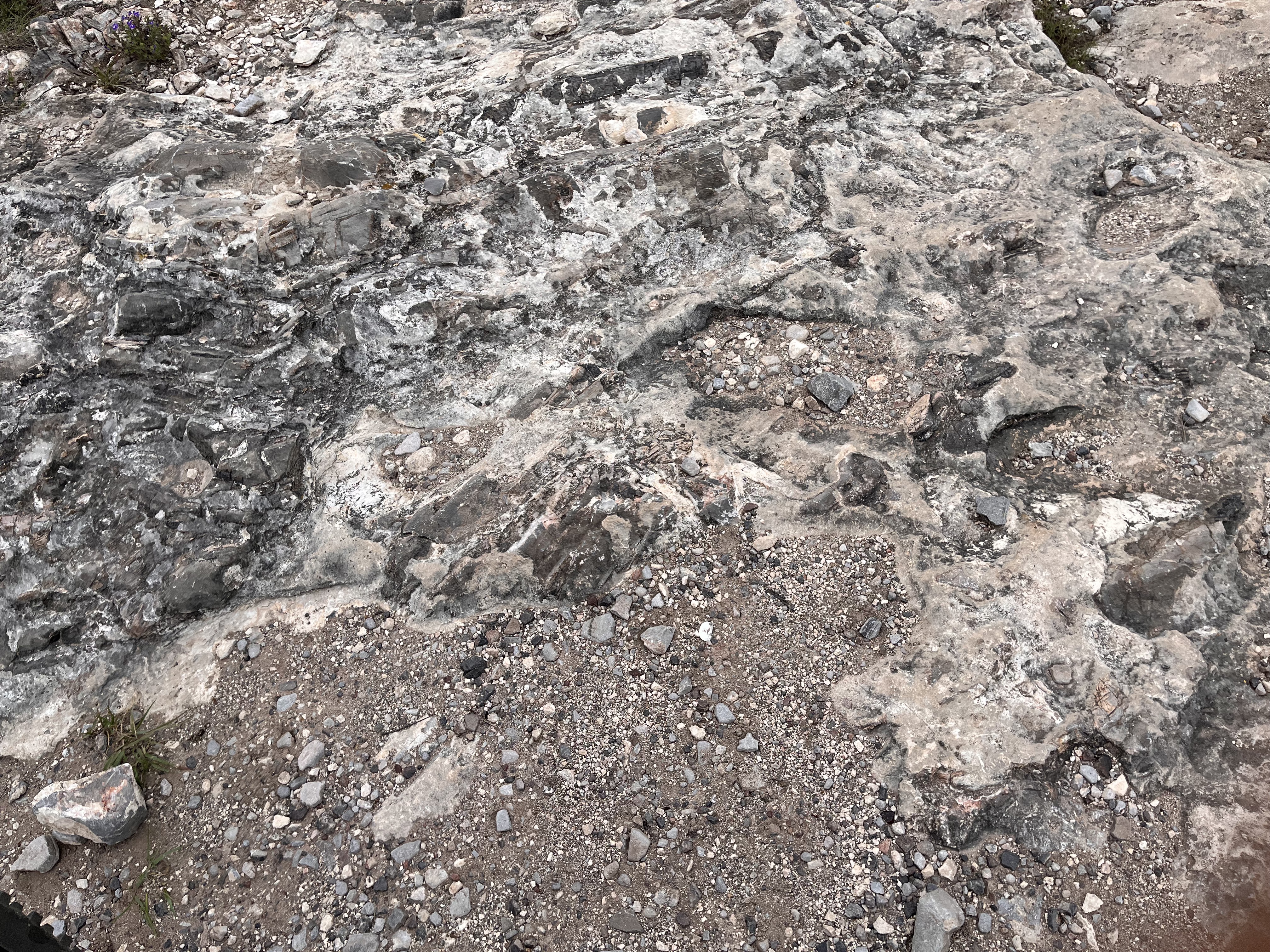
Route quality
Waytypes & surfaces along the route
Waytypes
Road
10.6 km
(56 %)
Quiet road
5.3 km
(28 %)
Undefined
3 km
(16 %)
Surfaces
Paved
9.3 km
(49 %)
Unpaved
0.6 km
(3 %)
Asphalt
9.3 km
(49 %)
Unpaved (undefined)
0.6 km
(3 %)
Undefined
9.1 km
(48 %)
Continue with Bikemap
Use, edit, or download this cycling route
You would like to ride De Nacozari a Calle Bajada Del Molino 6A or customize it for your own trip? Here is what you can do with this Bikemap route:
Free features
- Save this route as favorite or in collections
- Copy & plan your own version of this route
- Sync your route with Garmin or Wahoo
Premium features
Free trial for 3 days, or one-time payment. More about Bikemap Premium.
- Navigate this route on iOS & Android
- Export a GPX / KML file of this route
- Create your custom printout (try it for free)
- Download this route for offline navigation
Discover more Premium features.
Get Bikemap PremiumFrom our community
Other popular routes starting in Ciudad Satélite
 De Avenida Altiplano a 6754+74
- Distance
- 19.9 km
- Ascent
- 397 m
- Descent
- 205 m
- Location
- Ciudad Satélite, San Luis Potosí, Mexico
 De San Luis Potosi - Rioverde 286, Los Gómez Lado Oriente a Mariano Matamoros 16, Cieneguillas
- Distance
- 146.7 km
- Ascent
- 1,410 m
- Descent
- 2,416 m
- Location
- Ciudad Satélite, San Luis Potosí, Mexico
 De Paseo de la Sabana a Paseo de la Sabana
- Distance
- 7.5 km
- Ascent
- 14 m
- Descent
- 14 m
- Location
- Ciudad Satélite, San Luis Potosí, Mexico
 presa la cantera
- Distance
- 11.1 km
- Ascent
- 156 m
- Descent
- 92 m
- Location
- Ciudad Satélite, San Luis Potosí, Mexico
 Restaurante MI querido viejo
- Distance
- 34 km
- Ascent
- 69 m
- Descent
- 106 m
- Location
- Ciudad Satélite, San Luis Potosí, Mexico
 San José de los Gómez
- Distance
- 16.9 km
- Ascent
- 350 m
- Descent
- 349 m
- Location
- Ciudad Satélite, San Luis Potosí, Mexico
 Cerro de San Pedro a Calle Plaza Juárez, Cerro de San Pedro
- Distance
- 14.6 km
- Ascent
- 365 m
- Descent
- 379 m
- Location
- Ciudad Satélite, San Luis Potosí, Mexico
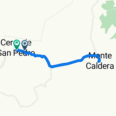 Cerro de San Pedro a Calle Bajada del Molino, Cerro de San Pedro
- Distance
- 14.3 km
- Ascent
- 318 m
- Descent
- 347 m
- Location
- Ciudad Satélite, San Luis Potosí, Mexico
Open it in the app