

Excursión desde La Ciotat
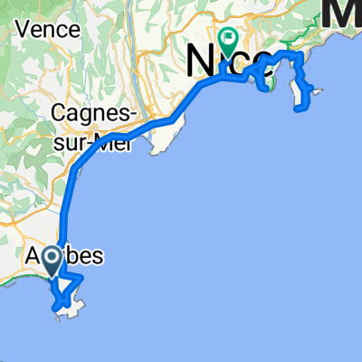
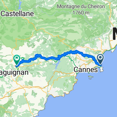
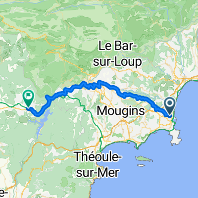
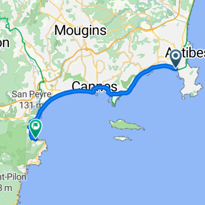
De Antibes a Roquebrune-Cap-Martín
A cycling route starting in Antibes, Provence-Alpes-Côte d'Azur Region, France.
Overview
About this route
- 4 h 10 min
- Duration
- 61.8 km
- Distance
- 1,260 m
- Ascent
- 1,246 m
- Descent
- 14.9 km/h
- Avg. speed
- 157 m
- Max. altitude

Part of
Excursión desde La Ciotat
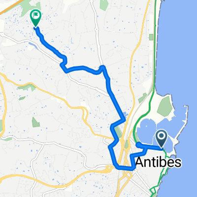
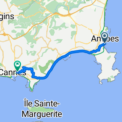
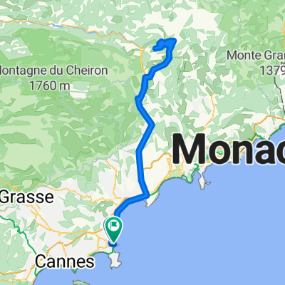
6 stages
Route quality
Waytypes & surfaces along the route
Waytypes
Cycleway
19.8 km
(32 %)
Quiet road
18.5 km
(30 %)
Surfaces
Paved
50.7 km
(82 %)
Unpaved
2.5 km
(4 %)
Asphalt
49.4 km
(80 %)
Gravel
2.5 km
(4 %)
Continue with Bikemap
Use, edit, or download this cycling route
You would like to ride De Antibes a Roquebrune-Cap-Martín or customize it for your own trip? Here is what you can do with this Bikemap route:
Free features
- Save this route as favorite or in collections
- Copy & plan your own version of this route
- Sync your route with Garmin or Wahoo
Premium features
Free trial for 3 days, or one-time payment. More about Bikemap Premium.
- Navigate this route on iOS & Android
- Export a GPX / KML file of this route
- Create your custom printout (try it for free)
- Download this route for offline navigation
Discover more Premium features.
Get Bikemap PremiumFrom our community
Other popular routes starting in Antibes
 De Antibes a Roquebrune-Cap-Martín
- Distance
- 61.8 km
- Ascent
- 1,260 m
- Descent
- 1,246 m
- Location
- Antibes, Provence-Alpes-Côte d'Azur Region, France
 Candy-route
- Distance
- 57.6 km
- Ascent
- 586 m
- Descent
- 586 m
- Location
- Antibes, Provence-Alpes-Côte d'Azur Region, France
 Route in Antibes
- Distance
- 5.9 km
- Ascent
- 117 m
- Descent
- 34 m
- Location
- Antibes, Provence-Alpes-Côte d'Azur Region, France
 Rue de la Tourraque, Antibes to Place de la Gare, Cannes
- Distance
- 12.9 km
- Ascent
- 134 m
- Descent
- 130 m
- Location
- Antibes, Provence-Alpes-Côte d'Azur Region, France
 130-1900_Antibe-Utelle_rt
- Distance
- 130.9 km
- Ascent
- 4,463 m
- Descent
- 4,460 m
- Location
- Antibes, Provence-Alpes-Côte d'Azur Region, France
 Antibes - Figanières
- Distance
- 77.6 km
- Ascent
- 1,980 m
- Descent
- 1,687 m
- Location
- Antibes, Provence-Alpes-Côte d'Azur Region, France
 From Antibes to Montauroux
- Distance
- 44.7 km
- Ascent
- 1,087 m
- Descent
- 927 m
- Location
- Antibes, Provence-Alpes-Côte d'Azur Region, France
 Boulevard Édouard Baudoin, Antibes to Boulevard de la Corniche d'Or, Théoule-sur-Mer
- Distance
- 21.1 km
- Ascent
- 315 m
- Descent
- 288 m
- Location
- Antibes, Provence-Alpes-Côte d'Azur Region, France
Open it in the app