

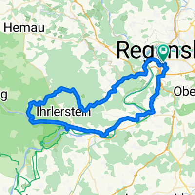
Postfelden Hofcafé #2 Wiesent hoch
A cycling route starting in Sinzing, Bavaria, Germany.
Overview
About this route
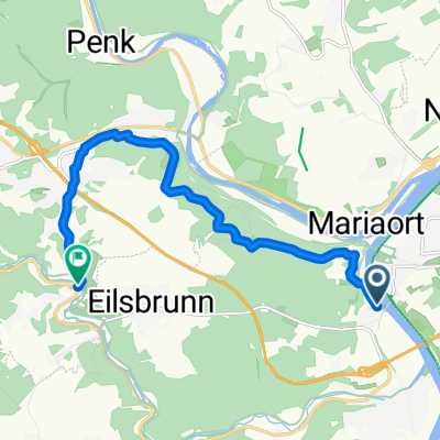
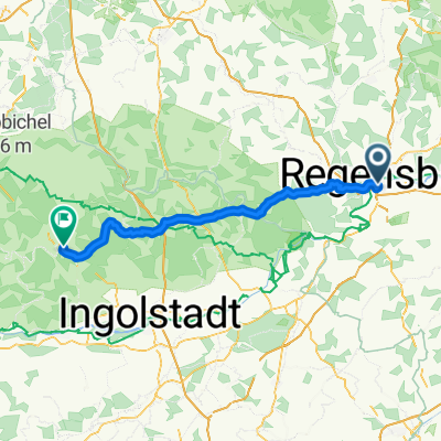
Danube, out via Wiesent; Altenthann, back via B-wald. Entirely on roads.
- 5 h 54 min
- Duration
- 81 km
- Distance
- 1,584 m
- Ascent
- 1,586 m
- Descent
- 13.7 km/h
- Avg. speed
- 606 m
- Max. altitude
Continue with Bikemap
Use, edit, or download this cycling route
You would like to ride Postfelden Hofcafé #2 Wiesent hoch or customize it for your own trip? Here is what you can do with this Bikemap route:
Free features
- Save this route as favorite or in collections
- Copy & plan your own version of this route
- Split it into stages to create a multi-day tour
- Sync your route with Garmin or Wahoo
Premium features
Free trial for 3 days, or one-time payment. More about Bikemap Premium.
- Navigate this route on iOS & Android
- Export a GPX / KML file of this route
- Create your custom printout (try it for free)
- Download this route for offline navigation
Discover more Premium features.
Get Bikemap PremiumFrom our community
Other popular routes starting in Sinzing
 R-Alling-Saxberg-Dürnstetten-Randeck-Essing-KEH-BA-R 68
- Distance
- 68 km
- Ascent
- 1,405 m
- Descent
- 1,404 m
- Location
- Sinzing, Bavaria, Germany
 Marienhöhe bis Schönhofen
- Distance
- 9.9 km
- Ascent
- 275 m
- Descent
- 245 m
- Location
- Sinzing, Bavaria, Germany
 Vom Krieger nach Kelheim
- Distance
- 24.5 km
- Ascent
- 122 m
- Descent
- 115 m
- Location
- Sinzing, Bavaria, Germany
 Postfelden Hofcafé #2 Wiesent hoch
- Distance
- 81 km
- Ascent
- 1,584 m
- Descent
- 1,586 m
- Location
- Sinzing, Bavaria, Germany
 R-RID-Denkendorf-Arnsberg-ARW-EI v1 84Km
- Distance
- 83.4 km
- Ascent
- 1,811 m
- Descent
- 1,788 m
- Location
- Sinzing, Bavaria, Germany
 R-Ntd-Deuerling-Schacha-Heimberg-Haugenried 54
- Distance
- 53.5 km
- Ascent
- 1,241 m
- Descent
- 1,246 m
- Location
- Sinzing, Bavaria, Germany
 R-Donau-Laaber-Naab-R
- Distance
- 78.2 km
- Ascent
- 1,025 m
- Descent
- 1,025 m
- Location
- Sinzing, Bavaria, Germany
 Tour zur großen Bärenhöhle
- Distance
- 17.9 km
- Ascent
- 424 m
- Descent
- 427 m
- Location
- Sinzing, Bavaria, Germany
Open it in the app