
Bodenseerundfahrt 5Tage
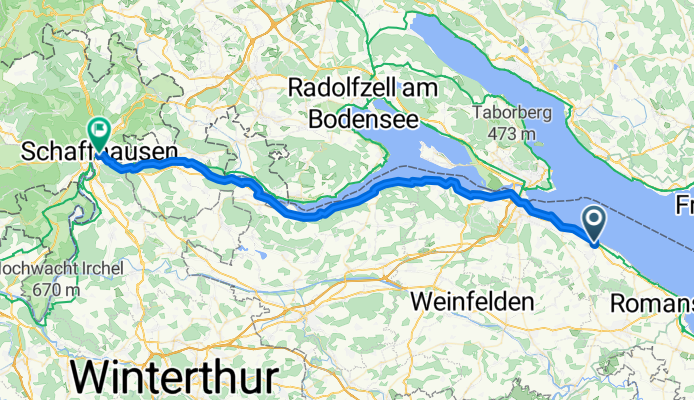
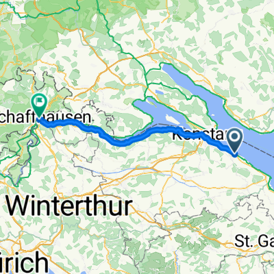
Ermatingen - Radolfzell am Bodensee
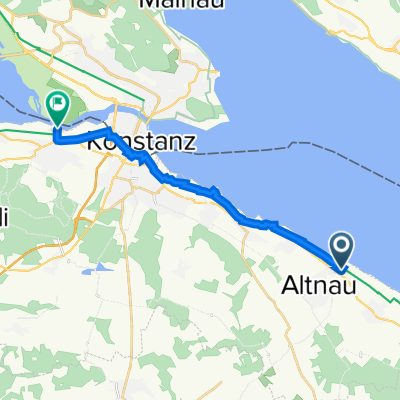
A cycling route starting in Altnau, Thurgau, Switzerland.
Overview
About this route
- 3 h 14 min
- Duration
- 58.7 km
- Distance
- 625 m
- Ascent
- 646 m
- Descent
- 18.2 km/h
- Avg. speed
- 474 m
- Max. altitude
Part of
Bodenseerundfahrt 5Tage
5 stages
Route quality
Waytypes & surfaces along the route
Waytypes
Quiet road
22.3 km
(38 %)
Track
12.3 km
(21 %)
Surfaces
Paved
53.4 km
(91 %)
Unpaved
3.5 km
(6 %)
Asphalt
50.4 km
(86 %)
Paved (undefined)
2.9 km
(5 %)
Continue with Bikemap
Use, edit, or download this cycling route
You would like to ride Ermatingen - Radolfzell am Bodensee or customize it for your own trip? Here is what you can do with this Bikemap route:
Free features
- Save this route as favorite or in collections
- Copy & plan your own version of this route
- Sync your route with Garmin or Wahoo
Premium features
Free trial for 3 days, or one-time payment. More about Bikemap Premium.
- Navigate this route on iOS & Android
- Export a GPX / KML file of this route
- Create your custom printout (try it for free)
- Download this route for offline navigation
Discover more Premium features.
Get Bikemap PremiumFrom our community
Other popular routes starting in Altnau
 Auffahrtsroute 3
- Distance
- 57.7 km
- Ascent
- 310 m
- Descent
- 309 m
- Location
- Altnau, Thurgau, Switzerland
 Ermatingen - Radolfzell am Bodensee
- Distance
- 58.7 km
- Ascent
- 625 m
- Descent
- 646 m
- Location
- Altnau, Thurgau, Switzerland
 Mostindienrundfarht
- Distance
- 73.3 km
- Ascent
- 565 m
- Descent
- 568 m
- Location
- Altnau, Thurgau, Switzerland
 Oskar_3_1
- Distance
- 12.1 km
- Ascent
- 34 m
- Descent
- 32 m
- Location
- Altnau, Thurgau, Switzerland
 Mostindienrundfarht
- Distance
- 73.3 km
- Ascent
- 671 m
- Descent
- 673 m
- Location
- Altnau, Thurgau, Switzerland
 Landstrasse 27, Altnau nach Am Schlosspark 4, Gottlieben
- Distance
- 13.5 km
- Ascent
- 36 m
- Descent
- 59 m
- Location
- Altnau, Thurgau, Switzerland
 20151227_154532.gpx
- Distance
- 6.4 km
- Ascent
- 39 m
- Descent
- 69 m
- Location
- Altnau, Thurgau, Switzerland
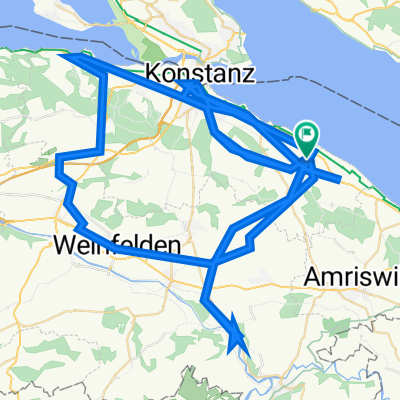 Recovered Route
- Distance
- 143.5 km
- Ascent
- 1,586 m
- Descent
- 1,588 m
- Location
- Altnau, Thurgau, Switzerland
Open it in the app