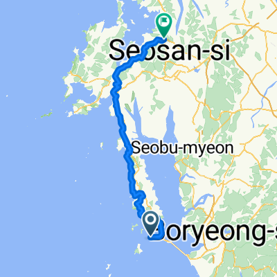
전국일주33일차-서산
- 88.7 km
- 1,238 m
- 1,273 m
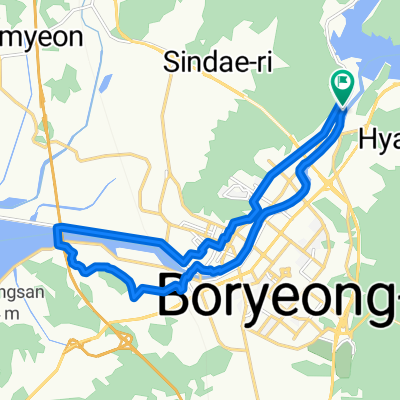
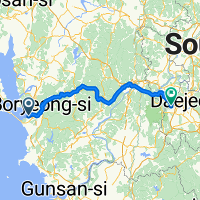
- Boryeong, Chungcheongnam-do, South Korea
16 stages
Quiet road
38.1 km43 %Road
25.7 km29 %Free trial for 3 days, or one-time payment. More about Bikemap Premium.
Discover more Premium features.
Get Bikemap PremiumOpen it in the app