
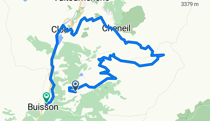
Chamois-Cheneil
A cycling route starting in Chamois, Aosta Valley, Italy.
Overview
About this route
- -:--
- Duration
- 21.4 km
- Distance
- 905 m
- Ascent
- 1,605 m
- Descent
- ---
- Avg. speed
- ---
- Max. altitude

Continue with Bikemap
Use, edit, or download this cycling route
You would like to ride Chamois-Cheneil or customize it for your own trip? Here is what you can do with this Bikemap route:
Free features
- Save this route as favorite or in collections
- Copy & plan your own version of this route
- Sync your route with Garmin or Wahoo
Premium features
Free trial for 3 days, or one-time payment. More about Bikemap Premium.
- Navigate this route on iOS & Android
- Export a GPX / KML file of this route
- Create your custom printout (try it for free)
- Download this route for offline navigation
Discover more Premium features.
Get Bikemap PremiumFrom our community
Other popular routes starting in Chamois
 Cerv4_ZChamois
- Distance
- 27.3 km
- Ascent
- 1,400 m
- Descent
- 1,391 m
- Location
- Chamois, Aosta Valley, Italy
 Chamois
- Distance
- 34.7 km
- Ascent
- 1,178 m
- Descent
- 1,913 m
- Location
- Chamois, Aosta Valley, Italy
 Chamois top Free Ride
- Distance
- 15.4 km
- Ascent
- 939 m
- Descent
- 1,443 m
- Location
- Chamois, Aosta Valley, Italy
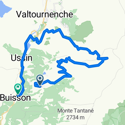
 chamois col fontaine cheneil valtournenche buisson
- Distance
- 26 km
- Ascent
- 890 m
- Descent
- 1,589 m
- Location
- Chamois, Aosta Valley, Italy
 Giro Ciaspole Chamois - Strada Saverou Bosco Foresus
- Distance
- 12 km
- Ascent
- 614 m
- Descent
- 613 m
- Location
- Chamois, Aosta Valley, Italy
 Chamois-Cheneil
- Distance
- 21.4 km
- Ascent
- 905 m
- Descent
- 1,605 m
- Location
- Chamois, Aosta Valley, Italy
 lago lod
- Distance
- 3.3 km
- Ascent
- 201 m
- Descent
- 180 m
- Location
- Chamois, Aosta Valley, Italy
 Valsdkafk-Rsfmja-fmñ
- Distance
- 65.9 km
- Ascent
- 2,545 m
- Descent
- 1,779 m
- Location
- Chamois, Aosta Valley, Italy
Open it in the app