
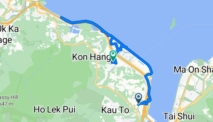
澤祥街, 馬料水 to 優景里, 馬料水
A cycling route starting in Shatin, Sha Tin, Hong Kong.
Overview
About this route
- 3 h 19 min
- Duration
- 12.6 km
- Distance
- 241 m
- Ascent
- 237 m
- Descent
- 3.8 km/h
- Avg. speed
- 28 m
- Max. altitude

Route photos


Continue with Bikemap
Use, edit, or download this cycling route
You would like to ride 澤祥街, 馬料水 to 優景里, 馬料水 or customize it for your own trip? Here is what you can do with this Bikemap route:
Free features
- Save this route as favorite or in collections
- Copy & plan your own version of this route
- Sync your route with Garmin or Wahoo
Premium features
Free trial for 3 days, or one-time payment. More about Bikemap Premium.
- Navigate this route on iOS & Android
- Export a GPX / KML file of this route
- Create your custom printout (try it for free)
- Download this route for offline navigation
Discover more Premium features.
Get Bikemap PremiumFrom our community
Other popular routes starting in Shatin
 文禮路, 大圍 to Hoi Ying Rd, 馬鞍山
- Distance
- 13.5 km
- Ascent
- 154 m
- Descent
- 136 m
- Location
- Shatin, Sha Tin, Hong Kong
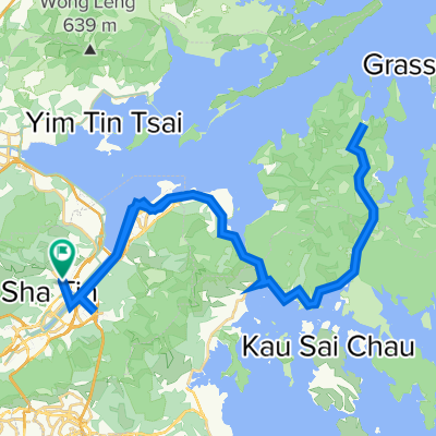 火炭~海下~火炭
- Distance
- 63.5 km
- Ascent
- 739 m
- Descent
- 722 m
- Location
- Shatin, Sha Tin, Hong Kong
 My home
- Distance
- 2.1 km
- Ascent
- 73 m
- Descent
- 73 m
- Location
- Shatin, Sha Tin, Hong Kong
 bike tour from (null) to (null)
- Distance
- 16.2 km
- Ascent
- 153 m
- Descent
- 152 m
- Location
- Shatin, Sha Tin, Hong Kong
 Tai Wai to Sheung Shui and Back
- Distance
- 57.2 km
- Ascent
- 586 m
- Descent
- 585 m
- Location
- Shatin, Sha Tin, Hong Kong
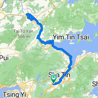
 Tsuen Nam Rd, Tai Wai to Tsuen Nam Rd, Tai Wai
- Distance
- 48 km
- Ascent
- 681 m
- Descent
- 673 m
- Location
- Shatin, Sha Tin, Hong Kong
 澤祥街, 馬料水 to 優景里, 馬料水
- Distance
- 12.6 km
- Ascent
- 241 m
- Descent
- 237 m
- Location
- Shatin, Sha Tin, Hong Kong
 Yat Cheung St, Ma Liu Shui, Sha Tin to Plover Cove Rd, Tai Po
- Distance
- 7.8 km
- Ascent
- 90 m
- Descent
- 70 m
- Location
- Shatin, Sha Tin, Hong Kong
Open it in the app