
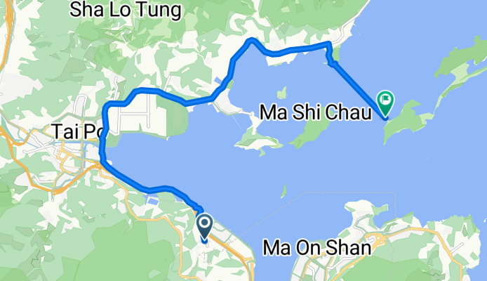
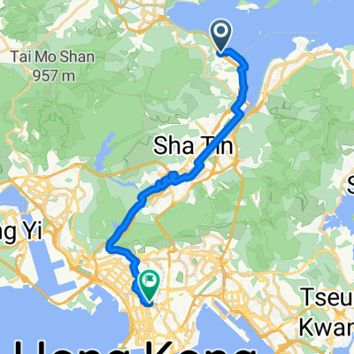
優景里, 馬料水 to 大美督路, 船灣
A cycling route starting in Tai Po, Tai Po District, Hong Kong.
Overview
About this route
- 1 h 28 min
- Duration
- 15.9 km
- Distance
- 85 m
- Ascent
- 81 m
- Descent
- 10.9 km/h
- Avg. speed
- 26 m
- Max. altitude

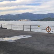
Route photos


Continue with Bikemap
Use, edit, or download this cycling route
You would like to ride 優景里, 馬料水 to 大美督路, 船灣 or customize it for your own trip? Here is what you can do with this Bikemap route:
Free features
- Save this route as favorite or in collections
- Copy & plan your own version of this route
- Sync your route with Garmin or Wahoo
Premium features
Free trial for 3 days, or one-time payment. More about Bikemap Premium.
- Navigate this route on iOS & Android
- Export a GPX / KML file of this route
- Create your custom printout (try it for free)
- Download this route for offline navigation
Discover more Premium features.
Get Bikemap PremiumFrom our community
Other popular routes starting in Tai Po
 粉嶺>羅湖>粉嶺
- Distance
- 14.2 km
- Ascent
- 115 m
- Descent
- 117 m
- Location
- Tai Po, Tai Po District, Hong Kong
 Easy ride
- Distance
- 34.2 km
- Ascent
- 428 m
- Descent
- 450 m
- Location
- Tai Po, Tai Po District, Hong Kong
 Fo Chun Rd, Hong Kong Science Park, Sha Tin to Argyle St, Mong Kok
- Distance
- 22 km
- Ascent
- 505 m
- Descent
- 488 m
- Location
- Tai Po, Tai Po District, Hong Kong
 大學去美林邨
- Distance
- 11.2 km
- Ascent
- 125 m
- Descent
- 114 m
- Location
- Tai Po, Tai Po District, Hong Kong
 花都 雙魚河 逸峯
- Distance
- 19.8 km
- Ascent
- 99 m
- Descent
- 101 m
- Location
- Tai Po, Tai Po District, Hong Kong
 2009-11-29 黃昏探路團之月底大冷團
- Distance
- 82.7 km
- Ascent
- 450 m
- Descent
- 446 m
- Location
- Tai Po, Tai Po District, Hong Kong
 返到馬鞍山了!
- Distance
- 17.3 km
- Ascent
- 109 m
- Descent
- 131 m
- Location
- Tai Po, Tai Po District, Hong Kong
 優景里, 馬料水 to 大美督路, 船灣
- Distance
- 15.9 km
- Ascent
- 85 m
- Descent
- 81 m
- Location
- Tai Po, Tai Po District, Hong Kong
Open it in the app