

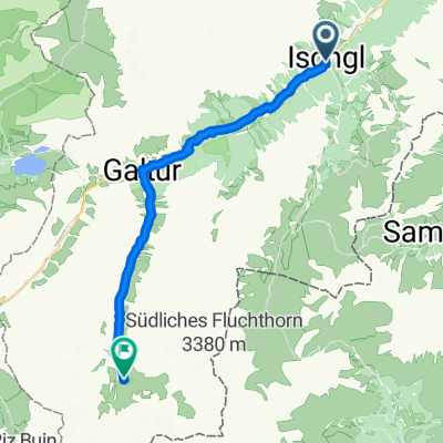
Ischgl - Heilbronner Hütte
A cycling route starting in Ischgl, Tyrol, Austria.
Overview
About this route
Manfred Immler, host of the Heilbronner Hütte, loves bikers: 'They are a gift from heaven.' He mainly refers to the many Alpine crossers who pass by here on their way from Oberstdorf to Riva, eat well, and mostly stay overnight. So, anyone choosing this tour to the Heilbronner Hütte from Ischgl can be sure of meeting a lot of like-minded people in summer. The route here does not go over the difficult Muttenjoch, but from Galtür to the Kops reservoir at the 1822 meter high Zeinisjoch and then up a smoothly rideable gravel road to the hut. Only the last elevation meters are terribly steep, but once you can see the hut, it isn't so bad. The descent goes partly the same way back, although you can choose a trail shortcut that leads past Valbella Alpe by the small Zeinissee towards Galtür.
- -:--
- Duration
- 46.6 km
- Distance
- 1,034 m
- Ascent
- 1,024 m
- Descent
- ---
- Avg. speed
- ---
- Max. altitude

Continue with Bikemap
Use, edit, or download this cycling route
You would like to ride Ischgl - Heilbronner Hütte or customize it for your own trip? Here is what you can do with this Bikemap route:
Free features
- Save this route as favorite or in collections
- Copy & plan your own version of this route
- Sync your route with Garmin or Wahoo
Premium features
Free trial for 3 days, or one-time payment. More about Bikemap Premium.
- Navigate this route on iOS & Android
- Export a GPX / KML file of this route
- Create your custom printout (try it for free)
- Download this route for offline navigation
Discover more Premium features.
Get Bikemap PremiumFrom our community
Other popular routes starting in Ischgl
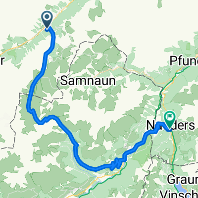 Ischgl - Nauders
- Distance
- 48.1 km
- Ascent
- 1,901 m
- Descent
- 2,106 m
- Location
- Ischgl, Tyrol, Austria
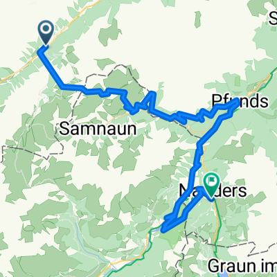 2_V1_Ischgl-Nauders
- Distance
- 65.2 km
- Ascent
- 4,032 m
- Descent
- 3,999 m
- Location
- Ischgl, Tyrol, Austria
 2_V2_Ischgl-Nauders
- Distance
- 53.4 km
- Ascent
- 2,273 m
- Descent
- 2,238 m
- Location
- Ischgl, Tyrol, Austria
 Transalp14 Tag2 11.8.
- Distance
- 40 km
- Ascent
- 1,322 m
- Descent
- 1,392 m
- Location
- Ischgl, Tyrol, Austria
 Bichlweg, Ischgl nach Galtür
- Distance
- 20.6 km
- Ascent
- 913 m
- Descent
- 125 m
- Location
- Ischgl, Tyrol, Austria
 Ischgl - Lareinalpe
- Distance
- 22.6 km
- Ascent
- 710 m
- Descent
- 677 m
- Location
- Ischgl, Tyrol, Austria
 VCE 2TT 2012 Ischgl-Eschenbach
- Distance
- 172 km
- Ascent
- 946 m
- Descent
- 1,818 m
- Location
- Ischgl, Tyrol, Austria
 TOUR-Transalp 2011 - 3. Etappe
- Distance
- 155.7 km
- Ascent
- 1,803 m
- Descent
- 2,628 m
- Location
- Ischgl, Tyrol, Austria
Open it in the app