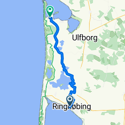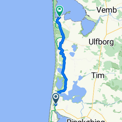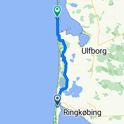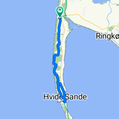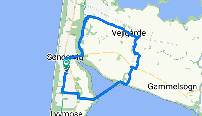


Solvej, Ringkøbing nach Solvej, Ringkøbing
- 17 km
- 19 m
- 20 m
- Ringkøbing, Central Jutland, Denmark
A cycling route starting in Ringkøbing, Central Jutland, Denmark.
Overview
Embark on an exhilarating cycling adventure through picturesque landscapes and charming villages, this 16.6 km route offers a delightful mix of gentle climbs and smooth descents. Begin your journey, gradually gaining 19 meters of elevation, rewarding you with stunning views as you ascend. Enjoy the downhill thrill with a 20-meter descent, bringing you back to the scenic trail. The route's maximum elevation of 11 meters ensures a balanced challenge, making it perfect for all skill levels. Whether you're pedaling through lush greenery or winding past quaint hamlets, this route promises an unforgettable experience.
AI generated
created this 22 days ago
Route quality
Quiet road
9.3 km
(55 %)
Path
3.9 km
(23 %)
Paved
8 km
(47 %)
Unpaved
8.3 km
(49 %)
Asphalt
7.8 km
(46 %)
Gravel
7.6 km
(45 %)
Continue with Bikemap
You would like to ride Solvej, Ringkøbing nach Solvej, Ringkøbing or customize it for your own trip? Here is what you can do with this Bikemap route:
Free trial for 3 days, or one-time payment. More about Bikemap Premium.
Discover more Premium features.
Get Bikemap PremiumFrom our community
Open it in the app