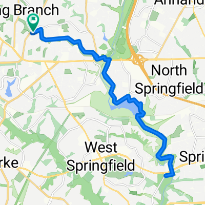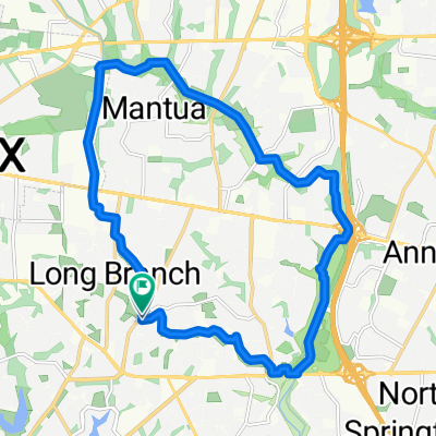
CCT to Pickett
- 20.6 km
- 85 m
- 89 m
- Kings Park, Virginia, United States
A cycling route starting in Kings Park, Virginia, United States.
Overview
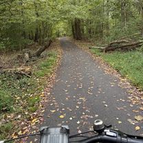
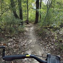
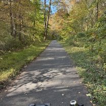
Embark on a scenic 13-kilometer cycling adventure that offers a delightful mix of gentle climbs and smooth descents. Starting from a serene trailhead, you'll ascend a modest 38 meters, gradually building your pace as you reach a maximum elevation of 91 meters. The route rewards you with a gentle descent of 41 meters, providing an exhilarating end to your journey. This route is perfect for cycling enthusiasts looking to enjoy both the beauty of the landscape and the thrill of a well-paced ride.
AI generated
created this 1 month ago

Route quality
Cycleway
11.3 km
(84 %)
Path
1.1 km
(8 %)
Paved
12.3 km
(92 %)
Unpaved
0.7 km
(5 %)
Paved (undefined)
6 km
(45 %)
Asphalt
4.8 km
(36 %)
Continue with Bikemap
You would like to ride Bayard Pl, Fairfax to Bayard Pl, Fairfax or customize it for your own trip? Here is what you can do with this Bikemap route:
Free trial for 3 days, or one-time payment. More about Bikemap Premium.
Discover more Premium features.
Get Bikemap PremiumFrom our community
Open it in the app