
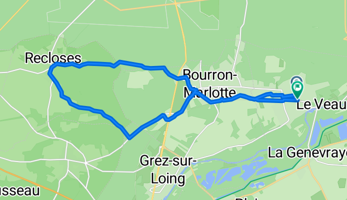
Montigny-Sur-Loing/Recloses
A cycling route starting in Montigny-sur-Loing, Île-de-France Region, France.
Overview
About this route
- 1 h 9 min
- Duration
- 18.5 km
- Distance
- 126 m
- Ascent
- 132 m
- Descent
- 16.1 km/h
- Avg. speed
- 140 m
- Max. altitude
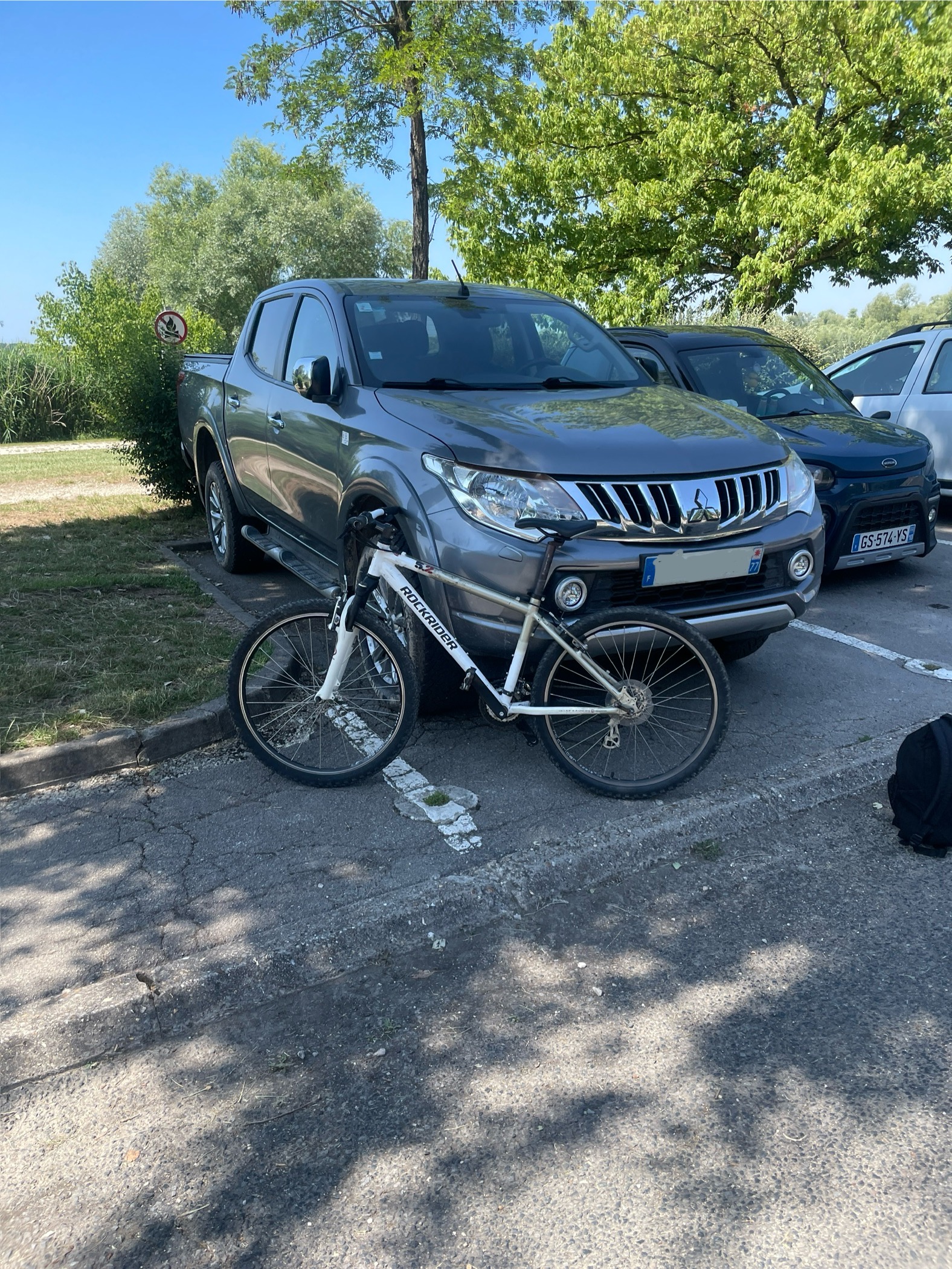
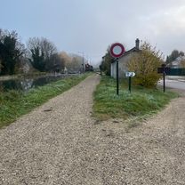
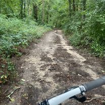
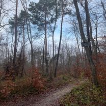
Route photos


Route quality
Waytypes & surfaces along the route
Waytypes
Quiet road
11.3 km
(61 %)
Track
3.9 km
(21 %)
Surfaces
Paved
5.7 km
(31 %)
Unpaved
0.7 km
(4 %)
Asphalt
5.7 km
(31 %)
Ground
0.7 km
(4 %)
Undefined
12 km
(65 %)
Continue with Bikemap
Use, edit, or download this cycling route
You would like to ride Montigny-Sur-Loing/Recloses or customize it for your own trip? Here is what you can do with this Bikemap route:
Free features
- Save this route as favorite or in collections
- Copy & plan your own version of this route
- Sync your route with Garmin or Wahoo
Premium features
Free trial for 3 days, or one-time payment. More about Bikemap Premium.
- Navigate this route on iOS & Android
- Export a GPX / KML file of this route
- Create your custom printout (try it for free)
- Download this route for offline navigation
Discover more Premium features.
Get Bikemap PremiumFrom our community
Other popular routes starting in Montigny-sur-Loing
 Montigny-Cugny-Nonville
- Distance
- 21.9 km
- Ascent
- 117 m
- Descent
- 132 m
- Location
- Montigny-sur-Loing, Île-de-France Region, France
 Parcours VTT
- Distance
- 25.5 km
- Ascent
- 326 m
- Descent
- 332 m
- Location
- Montigny-sur-Loing, Île-de-France Region, France
 montigny 1
- Distance
- 11 km
- Ascent
- 101 m
- Descent
- 65 m
- Location
- Montigny-sur-Loing, Île-de-France Region, France
 Sente des Jardins, La Genevraye à 4 De la Sucrerie, Souppes-sur-Loing
- Distance
- 19.1 km
- Ascent
- 55 m
- Descent
- 49 m
- Location
- Montigny-sur-Loing, Île-de-France Region, France
 Montigny-Bourron-Grez-LaGenevraye
- Distance
- 16.9 km
- Ascent
- 79 m
- Descent
- 78 m
- Location
- Montigny-sur-Loing, Île-de-France Region, France
 Montigny-Sorques
- Distance
- 9.9 km
- Ascent
- 73 m
- Descent
- 72 m
- Location
- Montigny-sur-Loing, Île-de-France Region, France
 De ÄÃ¥Ú? à ÄÃ¥Ú?
- Distance
- 14.8 km
- Ascent
- 121 m
- Descent
- 122 m
- Location
- Montigny-sur-Loing, Île-de-France Region, France
 Montigny sur Loing -Melun
- Distance
- 47.7 km
- Ascent
- 170 m
- Descent
- 172 m
- Location
- Montigny-sur-Loing, Île-de-France Region, France
Open it in the app