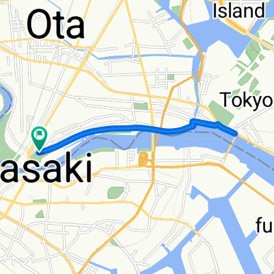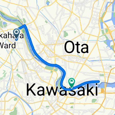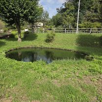
鶴見川源流の泉
- 35.8 km
- 200 m
- 171 m
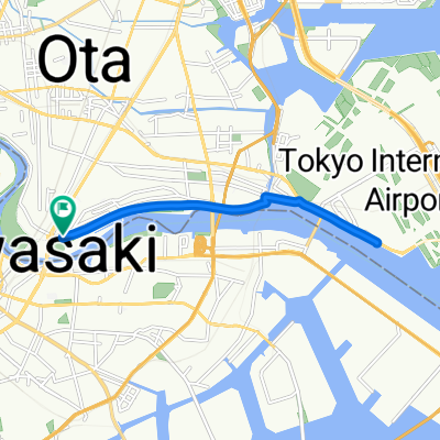
- Kawasaki, Kanagawa, Japan
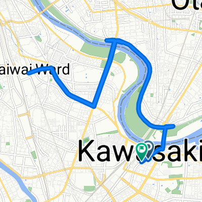
A cycling route starting in Kawasaki, Kanagawa, Japan.
Overview
Embark on an invigorating cycling adventure along this scenic route, perfect for those seeking a balanced mix of terrain and elevation. The journey spans approximately 28.7 kilometers, providing a moderate challenge for cyclists of varying experience levels.
As you pedal, you'll ascend gently, with the highest point reaching a maximum elevation of 17 meters. This ascent offers a delightful change of pace, perfect for those who enjoy a bit of elevation gain with their ride. The route also features a descent of 48 meters, adding an exhilarating twist to your ride.
Throughout the journey, you'll find yourself navigating both paved and unpaved paths, offering a dynamic mix of surfaces that keep the ride
AI generated
created this 25 days ago
Route quality
Cycleway
25.3 km
(87 %)
Pedestrian area
1.5 km
(5 %)
Paved
12.2 km
(42 %)
Unpaved
1.7 km
(6 %)
Asphalt
9.3 km
(32 %)
Paved (undefined)
2.9 km
(10 %)
Continue with Bikemap
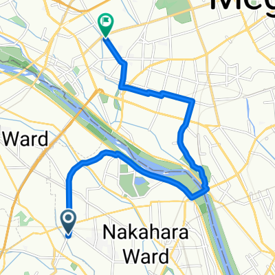
You would like to ride 東六郷3丁目, 大田区へ南六郷3丁目, 大田区 or customize it for your own trip? Here is what you can do with this Bikemap route:
Free trial for 3 days, or one-time payment. More about Bikemap Premium.
Discover more Premium features.
Get Bikemap PremiumFrom our community
Open it in the app