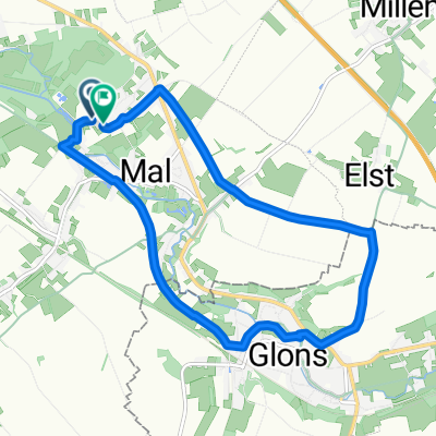
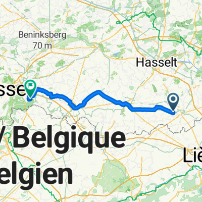
Dijk, Tongeren naar Dijk, Tongeren
- 47.1 km
- 267 m
- 266 m
- Tongeren, Flemish Region, Belgium
A cycling route starting in Tongeren, Flemish Region, Belgium.
Overview
Embark on a scenic cycling adventure spanning 46.7 km, with a gentle ascent of 266 meters and a smooth descent of 265 meters. The route features a maximum elevation of 123 meters, making it a manageable challenge for cyclists of all levels. You'll encounter a diverse mix of surfaces, predominantly paved roads, with significant stretches of asphalt, concrete, and gravel providing a smooth ride.
The journey includes a mix of well-marked bike paths and quieter roads, perfect for leisurely cycling. Experience the region's natural beauty while enjoying the benefits of a bike network that connects seamlessly with local paths. Whether you're navigating through charming countryside or along serene coastal routes, this cycling route offers an enjoyable and rewarding experience for all enthusiasts.
AI generated
created this 16 days ago
Route quality
Quiet road
28.3 km
(60 %)
Cycleway
9 km
(19 %)
Paved
34.4 km
(73 %)
Unpaved
2.4 km
(5 %)
Concrete
22.2 km
(47 %)
Asphalt
11.8 km
(25 %)
Continue with Bikemap
You would like to ride Dijk, Tongeren naar Dijk, Tongeren or customize it for your own trip? Here is what you can do with this Bikemap route:
Free trial for 3 days, or one-time payment. More about Bikemap Premium.
Discover more Premium features.
Get Bikemap PremiumFrom our community
Open it in the app