
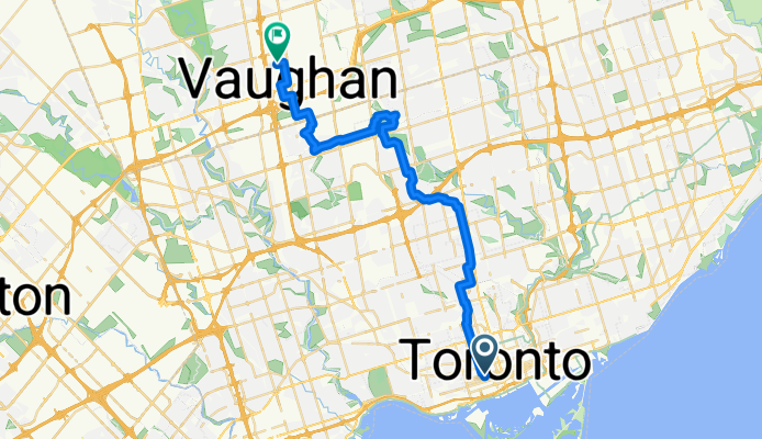
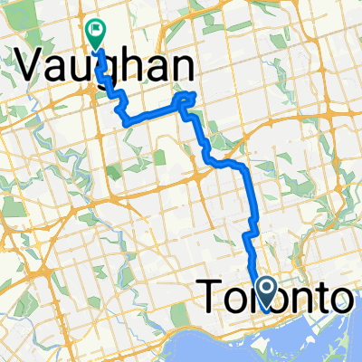
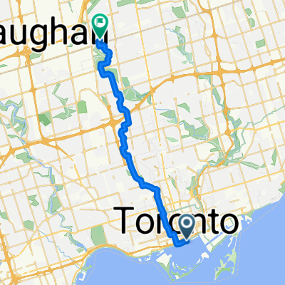
Richmond St W, Toronto to Edgeley Blvd, Vaughan
A cycling route starting in Toronto, Ontario, Canada.
Overview
About this route
- 1 h 56 min
- Duration
- 34.2 km
- Distance
- 260 m
- Ascent
- 146 m
- Descent
- 17.7 km/h
- Avg. speed
- 207 m
- Max. altitude

Route quality
Waytypes & surfaces along the route
Waytypes
Quiet road
18.4 km
(54 %)
Cycleway
8.5 km
(25 %)
Surfaces
Paved
31.8 km
(93 %)
Asphalt
31.1 km
(91 %)
Paved (undefined)
0.7 km
(2 %)
Undefined
2.4 km
(7 %)
Continue with Bikemap
Use, edit, or download this cycling route
You would like to ride Richmond St W, Toronto to Edgeley Blvd, Vaughan or customize it for your own trip? Here is what you can do with this Bikemap route:
Free features
- Save this route as favorite or in collections
- Copy & plan your own version of this route
- Sync your route with Garmin or Wahoo
Premium features
Free trial for 3 days, or one-time payment. More about Bikemap Premium.
- Navigate this route on iOS & Android
- Export a GPX / KML file of this route
- Create your custom printout (try it for free)
- Download this route for offline navigation
Discover more Premium features.
Get Bikemap PremiumFrom our community
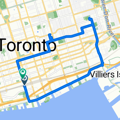
Other popular routes starting in Toronto
 St Johns Pl, Toronto to Sunnyside Ave, Toronto
- Distance
- 16.1 km
- Ascent
- 87 m
- Descent
- 106 m
- Location
- Toronto, Ontario, Canada
 Union Station Return Via Roller Skating, Swimming, Laziz Restaurant
- Distance
- 8.8 km
- Ascent
- 140 m
- Descent
- 140 m
- Location
- Toronto, Ontario, Canada
 Yonge Street to Queens Quay West
- Distance
- 11.9 km
- Ascent
- 107 m
- Descent
- 115 m
- Location
- Toronto, Ontario, Canada
 Richmond St W, Toronto to Edgeley Blvd, Vaughan
- Distance
- 34.2 km
- Ascent
- 260 m
- Descent
- 146 m
- Location
- Toronto, Ontario, Canada
 Grenville St, Toronto to St Vincent Ln, Toronto
- Distance
- 30.9 km
- Ascent
- 58 m
- Descent
- 64 m
- Location
- Toronto, Ontario, Canada
 Grosvenor St, Toronto to Royal York Rd, Toronto
- Distance
- 22.5 km
- Ascent
- 95 m
- Descent
- 108 m
- Location
- Toronto, Ontario, Canada
 Dundas Station to Midland Avenue
- Distance
- 28.4 km
- Ascent
- 249 m
- Descent
- 141 m
- Location
- Toronto, Ontario, Canada
 От Queens Quay East 25R до McClintock Crescent
- Distance
- 25.3 km
- Ascent
- 211 m
- Descent
- 62 m
- Location
- Toronto, Ontario, Canada
Open it in the app