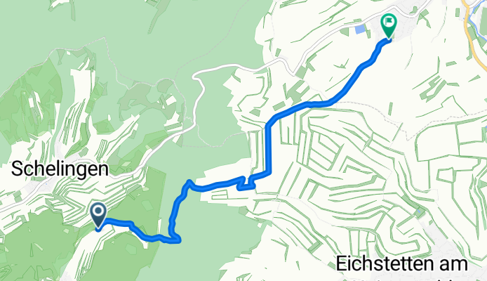
- 52.6 km
- 120 m
- 105 m
- Vogtsburg, Baden-Wurttemberg, Germany
Vogtsburg im Kaiserstuhl nach Dattentalweg, Bahlingen am Kaiserstuhl
A cycling route starting in Vogtsburg, Baden-Wurttemberg, Germany.
Overview
About this route
Embark on a delightful cycling adventure through this scenic route, perfect for all skill levels. Starting at a moderate elevation of 438 meters, you'll begin with a gentle ascent of 89 meters, setting a smooth tone for your ride. As you pedal, enjoy a delightful descent of 236 meters, offering a refreshing change of pace. The route culminates at a maximum elevation of 438 meters, providing a satisfying challenge for those who love a bit of a climb. With a total distance of 5.0 km, this route promises a balanced mix of climbing and descending, ensuring an engaging and invigorating ride. Whether you're looking to enjoy the scenery or push your limits, this route offers a perfect blend of both.
AI generated
- 1 h 37 min
- Duration
- 5.4 km
- Distance
- 90 m
- Ascent
- 237 m
- Descent
- 3.4 km/h
- Avg. speed
- 438 m
- Max. altitude
created this 15 days ago
Route photos
Route quality
Waytypes & surfaces along the route
Waytypes
Track
3.9 km
(71 %)
Quiet road
1.2 km
(22 %)
Surfaces
Paved
3.2 km
(58 %)
Unpaved
2.3 km
(43 %)
Paved (undefined)
1.9 km
(34 %)
Asphalt
1.3 km
(24 %)
Continue with Bikemap
Use, edit, or download this cycling route
You would like to ride Vogtsburg im Kaiserstuhl nach Dattentalweg, Bahlingen am Kaiserstuhl or customize it for your own trip? Here is what you can do with this Bikemap route:
Free features
- Save this route as favorite or in collections
- Copy & plan your own version of this route
- Sync your route with Garmin or Wahoo
Premium features
Free trial for 3 days, or one-time payment. More about Bikemap Premium.
- Navigate this route on iOS & Android
- Export a GPX / KML file of this route
- Create your custom printout (try it for free)
- Download this route for offline navigation
Discover more Premium features.
Get Bikemap PremiumFrom our community
Other popular routes starting in Vogtsburg
- Rheinstraße, Vogtsburg im Kaiserstuhl nach Sigolsheimerstraße 16, Vogtsburg im Kaiserstuhl
- Burkheim Breisach ins Elsas über Bremgarten zurück
- 61.8 km
- 35 m
- 37 m
- Vogtsburg, Baden-Wurttemberg, Germany
- Vogtsburg im Kaiserstuhl 60 KM
- 61.8 km
- 410 m
- 411 m
- Vogtsburg, Baden-Wurttemberg, Germany
- Vom Kaiserstuhl zum Schauinsland
- 103.4 km
- 1,271 m
- 1,271 m
- Vogtsburg, Baden-Wurttemberg, Germany
- Route nach Sigolsheimerstraße 14, Vogtsburg im Kaiserstuhl
- 36.4 km
- 327 m
- 326 m
- Vogtsburg, Baden-Wurttemberg, Germany
- mtb fahrt
- 38.9 km
- 815 m
- 815 m
- Vogtsburg, Baden-Wurttemberg, Germany
- mtb fahrt
- 11.2 km
- 172 m
- 213 m
- Vogtsburg, Baden-Wurttemberg, Germany
- Colmar 71 KM
- 69.3 km
- 147 m
- 144 m
- Vogtsburg, Baden-Wurttemberg, Germany
Open it in the app


