De East Waterman Street 11700, Wichita a East Waterman Street 11700, Wichita
- 45.4 km
- 163 m
- 161 m
- Andover, Kansas, United States
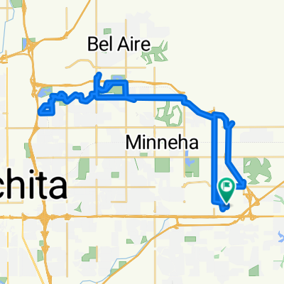
A cycling route starting in Andover, Kansas, United States.
Overview
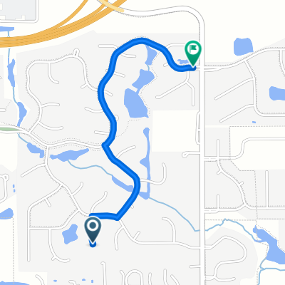
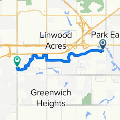
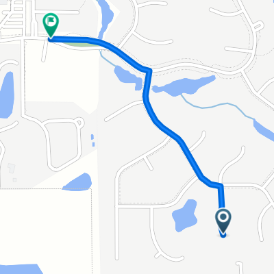
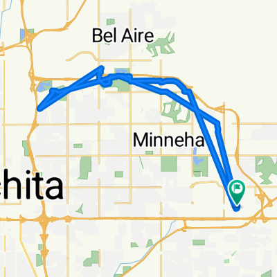
Embark on an exciting cycling adventure through varied terrains, where smooth paved paths meet rugged countryside trails. This journey spans 30.6 kilometers, featuring a delightful mix of elevation changes with a gentle 97-meter ascent and a 100-meter descent. The route's maximum elevation of 430 meters adds an exciting challenge for thrill-seekers.
The path predominantly features paved surfaces, accounting for 50.4% of the distance, ensuring a smooth and comfortable ride. For those moments when you crave a touch of adventure, the countryside paths offer a different kind of thrill, adding variety to your ride.
As you pedal, enjoy the scenic beauty along roads, cycleways, quiet roads, and access roads. This route offers a perfect blend of accessibility and adventure, making it an ideal choice for cyclists of all levels. So gear up and set off on this captivating cycling journey!
AI generated
created this 24 days ago
Route quality
Quiet road
10.1 km
(33 %)
Cycleway
9.2 km
(30 %)
Paved
11.6 km
(38 %)
Asphalt
8.3 km
(27 %)
Paved (undefined)
3.4 km
(11 %)
Undefined
19 km
(62 %)
Continue with Bikemap
You would like to ride S 127th St E, Wichita to S 127th St E, Wichita or customize it for your own trip? Here is what you can do with this Bikemap route:
Free trial for 3 days, or one-time payment. More about Bikemap Premium.
Discover more Premium features.
Get Bikemap PremiumFrom our community
Open it in the app