

Granier - col des Egaux
A cycling route starting in Cognin, Auvergne-Rhône-Alpes, France.
Overview
About this route
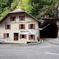
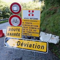
Col du Granier via Montagnole, then descent to Entremont-le-Vieux, followed by the grueling climb to the Déserts d'Entremont and descent to Corbel (note road is in quite poor condition). The last small climb of the col des Egaux becomes a mere formality at this stage. Descent on decent road (beware of some gravel patches where tarmac repairs have been made) down to St Jean de Couz. Return to Chambéry via the main road at full speed :) Expect about 2h30.
- -:--
- Duration
- 53.4 km
- Distance
- 1,326 m
- Ascent
- 1,325 m
- Descent
- ---
- Avg. speed
- ---
- Max. altitude
Route quality
Waytypes & surfaces along the route
Waytypes
Road
25.6 km
(48 %)
Quiet road
2.1 km
(4 %)
Undefined
25.6 km
(48 %)
Surfaces
Paved
35.2 km
(66 %)
Asphalt
35.2 km
(66 %)
Undefined
18.1 km
(34 %)
Continue with Bikemap
Use, edit, or download this cycling route
You would like to ride Granier - col des Egaux or customize it for your own trip? Here is what you can do with this Bikemap route:
Free features
- Save this route as favorite or in collections
- Copy & plan your own version of this route
- Sync your route with Garmin or Wahoo
Premium features
Free trial for 3 days, or one-time payment. More about Bikemap Premium.
- Navigate this route on iOS & Android
- Export a GPX / KML file of this route
- Create your custom printout (try it for free)
- Download this route for offline navigation
Discover more Premium features.
Get Bikemap PremiumFrom our community
Other popular routes starting in Cognin
 Chambéry to Voreppe
- Distance
- 47.2 km
- Ascent
- 870 m
- Descent
- 938 m
- Location
- Cognin, Auvergne-Rhône-Alpes, France
 Col de l'Epine - col du Chat
- Distance
- 55.8 km
- Ascent
- 1,209 m
- Descent
- 1,209 m
- Location
- Cognin, Auvergne-Rhône-Alpes, France
 jarrier bidob
- Distance
- 11.8 km
- Ascent
- 76 m
- Descent
- 47 m
- Location
- Cognin, Auvergne-Rhône-Alpes, France
 Chambéry - Circle toward Col du Granier
- Distance
- 23.4 km
- Ascent
- 670 m
- Descent
- 673 m
- Location
- Cognin, Auvergne-Rhône-Alpes, France
 granier via st baldoph et pas de la fosse
- Distance
- 17.9 km
- Ascent
- 923 m
- Descent
- 57 m
- Location
- Cognin, Auvergne-Rhône-Alpes, France
 STB_Barca_act_007_0811_Chambery - Valence
- Distance
- 130.1 km
- Ascent
- 716 m
- Descent
- 881 m
- Location
- Cognin, Auvergne-Rhône-Alpes, France
 Tour de lac
- Distance
- 72 km
- Ascent
- 956 m
- Descent
- 958 m
- Location
- Cognin, Auvergne-Rhône-Alpes, France
 VTT SAINT SULPICE
- Distance
- 27.1 km
- Ascent
- 0 m
- Descent
- 0 m
- Location
- Cognin, Auvergne-Rhône-Alpes, France
Open it in the app