

Granica Czeska
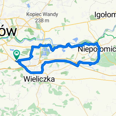
A cycling route starting in Czarnochowice, Lesser Poland Voivodeship, Poland.
Overview
About this route
Wyprawa rowerem wzdłuz granicy czeskiej
- -:--
- Duration
- 883.9 km
- Distance
- 2,967 m
- Ascent
- 3,002 m
- Descent
- ---
- Avg. speed
- ---
- Max. altitude
Route highlights
Points of interest along the route
Point of interest after 97 km
Point of interest after 97 km
Bielsko 25
Point of interest after 183.9 km
Wisła 18 zł
Point of interest after 325.9 km
Piotrowice 8 zł
Point of interest after 403.1 km
Pokrzywna 12 zł
Point of interest after 527.2 km
Polanica-Zdrój 21zł
Point of interest after 570.2 km
spanie na dziko
Point of interest after 675.1 km
Karpacz 2 noclegi po 18
Point of interest after 750.5 km
Leśna 13 zł
Point of interest after 881.1 km
Bolesławiec 15
Continue with Bikemap
Use, edit, or download this cycling route
You would like to ride Granica Czeska or customize it for your own trip? Here is what you can do with this Bikemap route:
Free features
- Save this route as favorite or in collections
- Copy & plan your own version of this route
- Split it into stages to create a multi-day tour
- Sync your route with Garmin or Wahoo
Premium features
Free trial for 3 days, or one-time payment. More about Bikemap Premium.
- Navigate this route on iOS & Android
- Export a GPX / KML file of this route
- Create your custom printout (try it for free)
- Download this route for offline navigation
Discover more Premium features.
Get Bikemap PremiumFrom our community
Other popular routes starting in Czarnochowice
 Spokojna trasa w Kraków
- Distance
- 26.7 km
- Ascent
- 251 m
- Descent
- 252 m
- Location
- Czarnochowice, Lesser Poland Voivodeship, Poland
 Krk-Mszana Dl
- Distance
- 106.6 km
- Ascent
- 840 m
- Descent
- 847 m
- Location
- Czarnochowice, Lesser Poland Voivodeship, Poland
 Bieżanów - Staniątki - Puszcza Niepołomicka - Bieżanów I
- Distance
- 40 km
- Ascent
- 218 m
- Descent
- 218 m
- Location
- Czarnochowice, Lesser Poland Voivodeship, Poland
 Za Puszczę
- Distance
- 88.1 km
- Ascent
- 64 m
- Descent
- 71 m
- Location
- Czarnochowice, Lesser Poland Voivodeship, Poland
 Aleksandry 5, Краков до Поремба-Велька, Niedźwiedź
- Distance
- 75.5 km
- Ascent
- 1,655 m
- Descent
- 1,179 m
- Location
- Czarnochowice, Lesser Poland Voivodeship, Poland
 Prokocim-Niepołomice-Prokocim
- Distance
- 43.5 km
- Ascent
- 111 m
- Descent
- 111 m
- Location
- Czarnochowice, Lesser Poland Voivodeship, Poland
 Kraków-Budapeszt 2014
- Distance
- 559 km
- Ascent
- 2,830 m
- Descent
- 2,914 m
- Location
- Czarnochowice, Lesser Poland Voivodeship, Poland
 Aleksandry 4a, Kraków do Aleksandry 4a, Kraków
- Distance
- 40.9 km
- Ascent
- 772 m
- Descent
- 773 m
- Location
- Czarnochowice, Lesser Poland Voivodeship, Poland
Open it in the app