

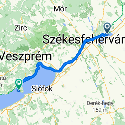
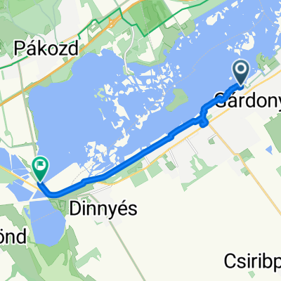
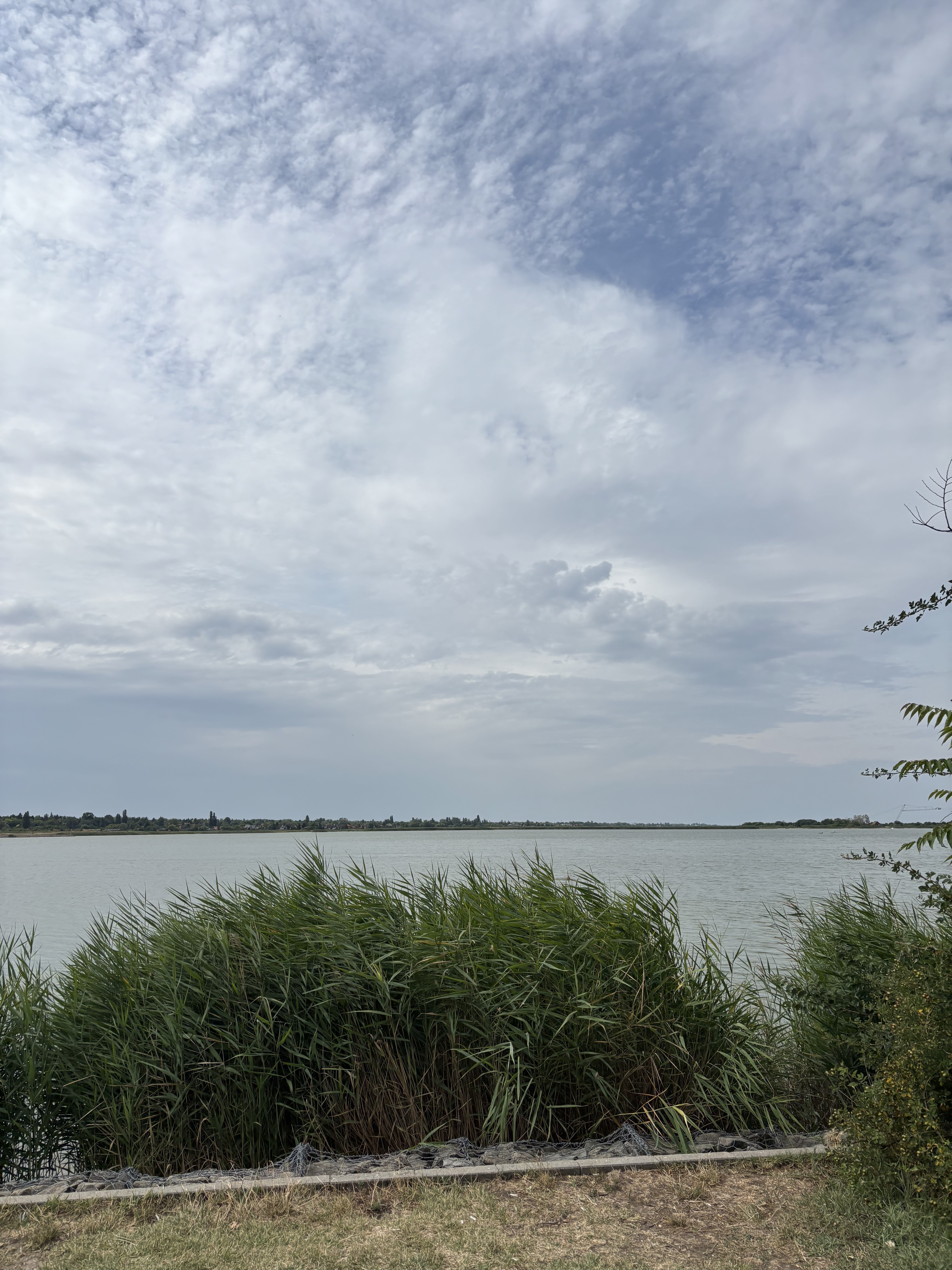
velencei tó karika
A cycling route starting in Gárdony, Fejér, Hungary.
Overview
About this route
- -:--
- Duration
- 31.5 km
- Distance
- 79 m
- Ascent
- 80 m
- Descent
- ---
- Avg. speed
- ---
- Max. altitude
Route quality
Waytypes & surfaces along the route
Waytypes
Quiet road
10.7 km
(34 %)
Cycleway
10.4 km
(33 %)
Surfaces
Paved
29 km
(92 %)
Unpaved
0.3 km
(1 %)
Asphalt
28.6 km
(91 %)
Concrete
0.3 km
(1 %)
Continue with Bikemap
Use, edit, or download this cycling route
You would like to ride velencei tó karika or customize it for your own trip? Here is what you can do with this Bikemap route:
Free features
- Save this route as favorite or in collections
- Copy & plan your own version of this route
- Sync your route with Garmin or Wahoo
Premium features
Free trial for 3 days, or one-time payment. More about Bikemap Premium.
- Navigate this route on iOS & Android
- Export a GPX / KML file of this route
- Create your custom printout (try it for free)
- Download this route for offline navigation
Discover more Premium features.
Get Bikemap PremiumFrom our community
Other popular routes starting in Gárdony
 Velence-kör
- Distance
- 27.6 km
- Ascent
- 82 m
- Descent
- 83 m
- Location
- Gárdony, Fejér, Hungary
 Sás utca, Gárdony to Káka utca, Gárdony
- Distance
- 30.5 km
- Ascent
- 91 m
- Descent
- 97 m
- Location
- Gárdony, Fejér, Hungary
 De Tóparti út a Sajkodi sor
- Distance
- 95.7 km
- Ascent
- 485 m
- Descent
- 481 m
- Location
- Gárdony, Fejér, Hungary
 Holdfény sétány, Gárdony - 6213-as mellékút, Pákozd
- Distance
- 8.8 km
- Ascent
- 17 m
- Descent
- 16 m
- Location
- Gárdony, Fejér, Hungary
 velencei tó karika
- Distance
- 31.5 km
- Ascent
- 79 m
- Descent
- 80 m
- Location
- Gárdony, Fejér, Hungary
 Velence körbe
- Distance
- 42.6 km
- Ascent
- 332 m
- Descent
- 327 m
- Location
- Gárdony, Fejér, Hungary
 Balatoni út, Gárdony to Chernel István utca, Gárdony
- Distance
- 30.1 km
- Ascent
- 96 m
- Descent
- 104 m
- Location
- Gárdony, Fejér, Hungary
 Árpád fejedelem utca, Gárdony - Kisfaludy sétány, Balatonakarattyabub
- Distance
- 52.2 km
- Ascent
- 269 m
- Descent
- 223 m
- Location
- Gárdony, Fejér, Hungary
Open it in the app