

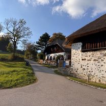
Dießenleitental-Gis
A cycling route starting in Linz, Upper Austria, Austria.
Overview
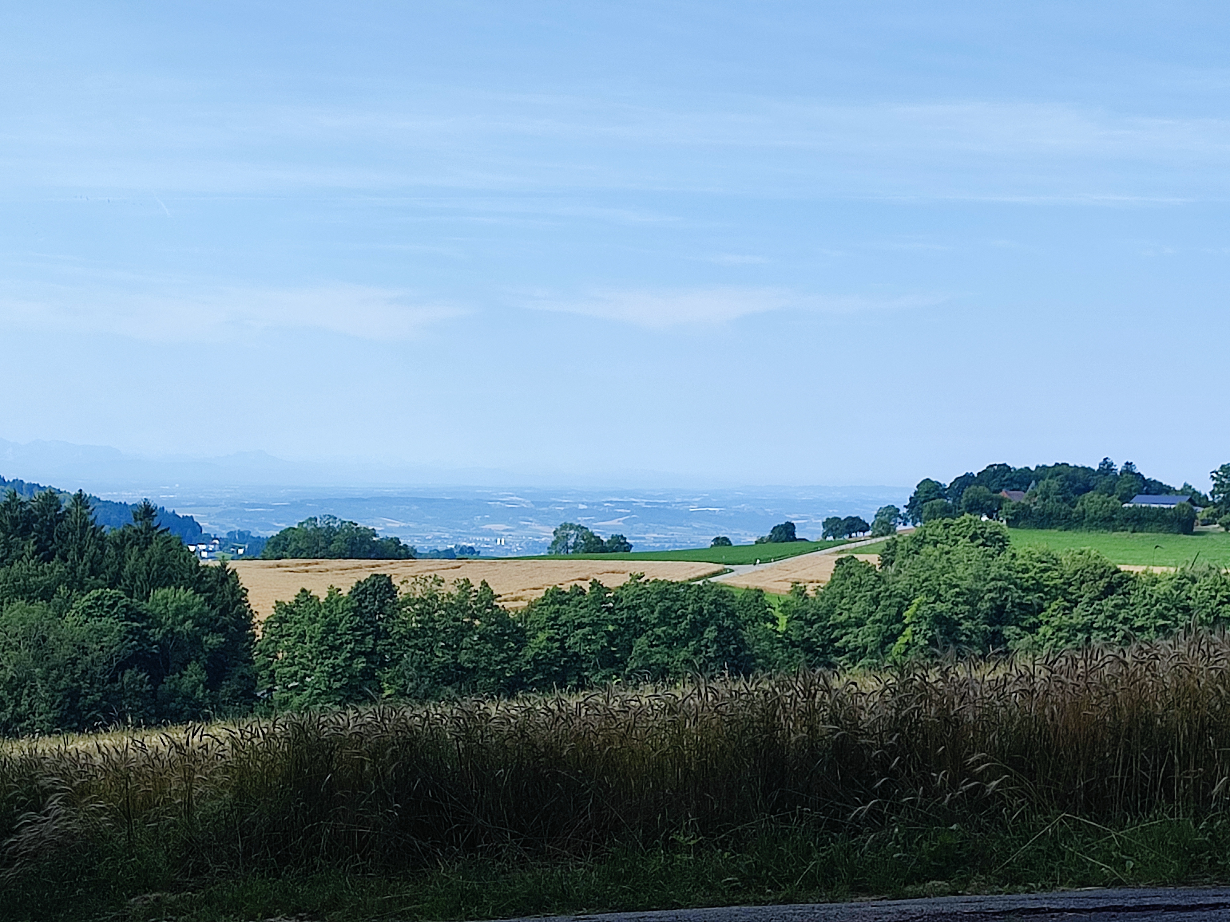
About this route
Very root-covered in the middle section; climbing is a strength and technique training
- -:--
- Duration
- 10.2 km
- Distance
- 663 m
- Ascent
- 46 m
- Descent
- ---
- Avg. speed
- ---
- Max. altitude
Route highlights
Points of interest along the route

Point of interest after 0.7 km

Point of interest after 1 km

Point of interest after 1.8 km

Point of interest after 2.6 km

Point of interest after 2.8 km

Point of interest after 3.9 km

Point of interest after 4 km

Point of interest after 4.1 km

Point of interest after 5.6 km

Point of interest after 5.7 km

Point of interest after 6.3 km

Point of interest after 7 km

Point of interest after 7.2 km

Point of interest after 7.2 km

Point of interest after 7.5 km

Point of interest after 7.7 km

Point of interest after 7.8 km

Point of interest after 8.3 km

Point of interest after 8.4 km

Point of interest after 9.3 km

Point of interest after 9.8 km

Point of interest after 10.2 km

Point of interest after 10.2 km
Continue with Bikemap
Use, edit, or download this cycling route
You would like to ride Dießenleitental-Gis or customize it for your own trip? Here is what you can do with this Bikemap route:
Free features
- Save this route as favorite or in collections
- Copy & plan your own version of this route
- Sync your route with Garmin or Wahoo
Premium features
Free trial for 3 days, or one-time payment. More about Bikemap Premium.
- Navigate this route on iOS & Android
- Export a GPX / KML file of this route
- Create your custom printout (try it for free)
- Download this route for offline navigation
Discover more Premium features.
Get Bikemap PremiumFrom our community
Other popular routes starting in Linz
 Trail Pfenningbergrunde
- Distance
- 13.9 km
- Ascent
- 348 m
- Descent
- 350 m
- Location
- Linz, Upper Austria, Austria
 L-Pelmbergstüberl 03.10.25-L
- Distance
- 25.3 km
- Ascent
- 618 m
- Descent
- 618 m
- Location
- Linz, Upper Austria, Austria
 Trail GIS – Bachlberg Variante01
- Distance
- 21.7 km
- Ascent
- 713 m
- Descent
- 850 m
- Location
- Linz, Upper Austria, Austria
 Seeweg nach Seeweg 9, Plesching
- Distance
- 51.1 km
- Ascent
- 155 m
- Descent
- 200 m
- Location
- Linz, Upper Austria, Austria
 Ottensheim
- Distance
- 31.8 km
- Ascent
- 122 m
- Descent
- 124 m
- Location
- Linz, Upper Austria, Austria
 Linz - Plesching - St.Georgen - Galli - Linz
- Distance
- 40.6 km
- Ascent
- 292 m
- Descent
- 293 m
- Location
- Linz, Upper Austria, Austria
 Leonfeldner Straße 68a nach Leonfeldner Straße 66a
- Distance
- 20.2 km
- Ascent
- 729 m
- Descent
- 774 m
- Location
- Linz, Upper Austria, Austria
 Trail Puchenau – Ottensheim
- Distance
- 20.1 km
- Ascent
- 502 m
- Descent
- 502 m
- Location
- Linz, Upper Austria, Austria
Open it in the app