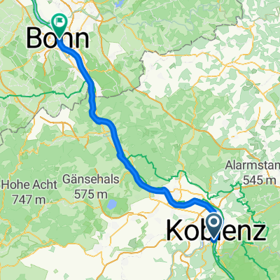
Sankt Sebastian - Bonn
- 50 km
- 628 m
- 615 m
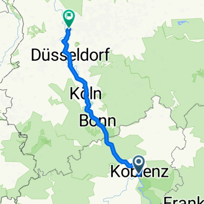
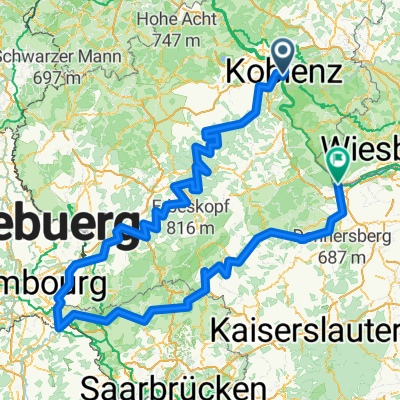
- Koblenz, Rhineland-Palatinate, Germany
A cycling route starting in Koblenz, Rhineland-Palatinate, Germany.
Overview
created this 10 days ago
Route quality
Path
228.3 km
(44 %)
Track
83 km
(16 %)
Paved
446.3 km
(86 %)
Unpaved
31.1 km
(6 %)
Asphalt
394.4 km
(76 %)
Paved (undefined)
41.5 km
(8 %)
Route highlights
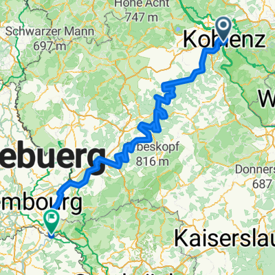
In Konz Mündung der Saar in die Mosel
die Saar in Saarbrücken
Glan, Nebenfluss der Nahe
Östlich von Staudenheim Mündung der Glan in die Nahe
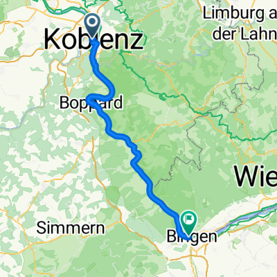
In Bingen Mündung der Nahe in den Rhein
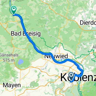
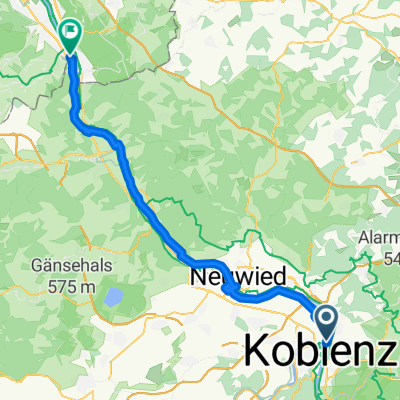
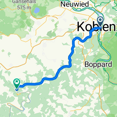
Am Deutschen Eck, Mündung der Mosel in den Rhein
Continue with Bikemap
You would like to ride Mosel-Saar-Glan-Nahe-Rhein-519km or customize it for your own trip? Here is what you can do with this Bikemap route:
Free trial for 3 days, or one-time payment. More about Bikemap Premium.
Discover more Premium features.
Get Bikemap PremiumFrom our community
Open it in the app