- 71 km
- 2,484 m
- 2,257 m
- Manitou Springs, Colorado, United States
W Pikes Peak Ave, Colorado Springs to S 12th St, Colorado Springs
A cycling route starting in Manitou Springs, Colorado, United States.
Overview
About this route
Embark on an exhilarating cycling adventure along this scenic route, spanning 13.7 kilometers with an ascent of 152 meters and a thrilling descent of 195 meters.
The journey begins at a moderate elevation, gradually building excitement as you ascend towards the summit. Here, you'll reach a maximum elevation of 1970 meters, offering a breathtaking view of the surrounding landscape.
As you make your way back down, relish the rush of the descent, feeling the thrill of speed and the cool breeze against your face. This route promises an unforgettable experience for cycling enthusiasts seeking both challenge and scenery.
AI generated
- 1 h
- Duration
- 14.1 km
- Distance
- 153 m
- Ascent
- 195 m
- Descent
- 14 km/h
- Avg. speed
- 1,970 m
- Max. altitude
created this 5 days ago
Route quality
Waytypes & surfaces along the route
Waytypes
Quiet road
10.4 km
(74 %)
Path
1.1 km
(8 %)
Surfaces
Paved
8.3 km
(59 %)
Unpaved
0.8 km
(6 %)
Asphalt
6.5 km
(46 %)
Concrete
1 km
(7 %)
Continue with Bikemap
Use, edit, or download this cycling route
You would like to ride W Pikes Peak Ave, Colorado Springs to S 12th St, Colorado Springs or customize it for your own trip? Here is what you can do with this Bikemap route:
Free features
- Save this route as favorite or in collections
- Copy & plan your own version of this route
- Sync your route with Garmin or Wahoo
Premium features
Free trial for 3 days, or one-time payment. More about Bikemap Premium.
- Navigate this route on iOS & Android
- Export a GPX / KML file of this route
- Create your custom printout (try it for free)
- Download this route for offline navigation
Discover more Premium features.
Get Bikemap PremiumFrom our community
Other popular routes starting in Manitou Springs
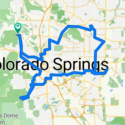
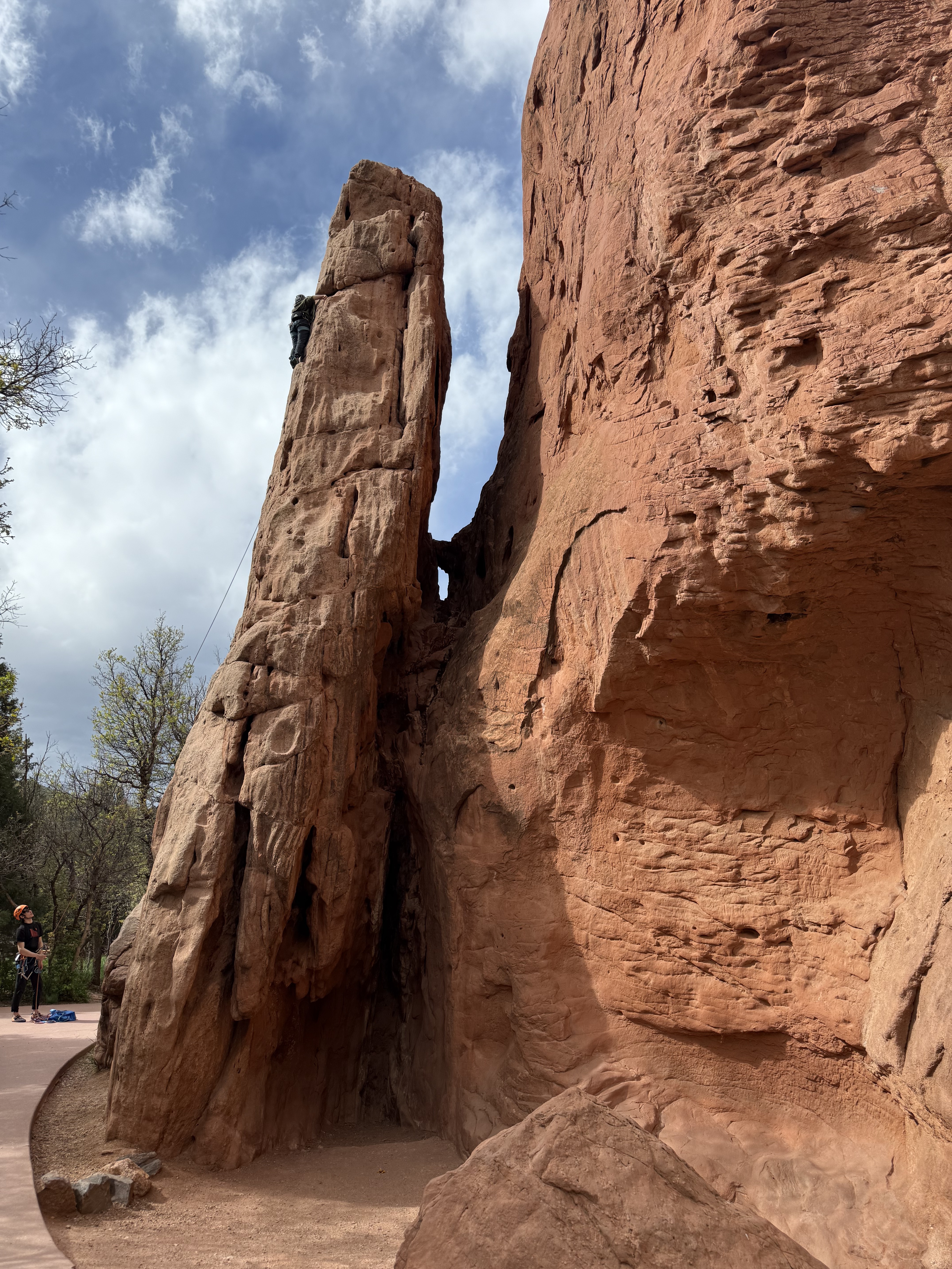
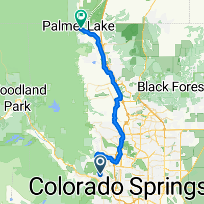
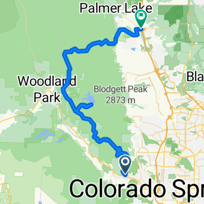
- From Garder of Gods to Monument
- Ring the Springs (Clockwise Densified Route)
- 70.5 km
- 690 m
- 692 m
- Manitou Springs, Colorado, United States
- W Pikes Peak Ave, Colorado Springs to S 12th St, Colorado Springs
- 14.1 km
- 153 m
- 195 m
- Manitou Springs, Colorado, United States
- W Colorado Ave, Colorado Springs to Central Garden Loop, Colorado Springs
- 4.2 km
- 120 m
- 49 m
- Manitou Springs, Colorado, United States
- Restful route in Colorado Springs
- 8.7 km
- 33 m
- 131 m
- Manitou Springs, Colorado, United States
- Pleasant Street to O'Malley's Palmer Lake
- 43.6 km
- 541 m
- 221 m
- Manitou Springs, Colorado, United States
- Single loop major through Garden of the Gods from home
- 10.7 km
- 223 m
- 245 m
- Manitou Springs, Colorado, United States
- N 30th St, Colorado Springs to N 30th St, Colorado Springs
- 18.7 km
- 341 m
- 323 m
- Manitou Springs, Colorado, United States
Open it in the app


