Gmünd/Eisenbahstrecke/Rehaldenhütte
- 48.2 km
- 434 m
- 346 m
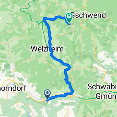
- Plüderhausen, Baden-Wurttemberg, Germany
A cycling route starting in Plüderhausen, Baden-Wurttemberg, Germany.
Overview
Easy tour from Lorch Waldhausen to Schorndorf and back - always nice along the Rems. Parking at the Remstalhalle in Waldhausen
Route quality
Track
9.3 km
(46 %)
Quiet road
6.2 km
(31 %)
Paved
15.9 km
(79 %)
Unpaved
1.2 km
(6 %)
Asphalt
15.5 km
(77 %)
Gravel
1 km
(5 %)
Continue with Bikemap
You would like to ride Leichte Remsroute Lorch-Waldh.-Schorndorf Mitte or customize it for your own trip? Here is what you can do with this Bikemap route:
Free trial for 3 days, or one-time payment. More about Bikemap Premium.
Discover more Premium features.
Get Bikemap PremiumFrom our community
Open it in the app