Krempna-Kotań-Światkowa Wielka-Światkowa Mala
- 15.1 km
- 101 m
- 100 m
- Krempna, Subcarpathian Voivodeship, Poland
A cycling route starting in Krempna, Subcarpathian Voivodeship, Poland.
Overview
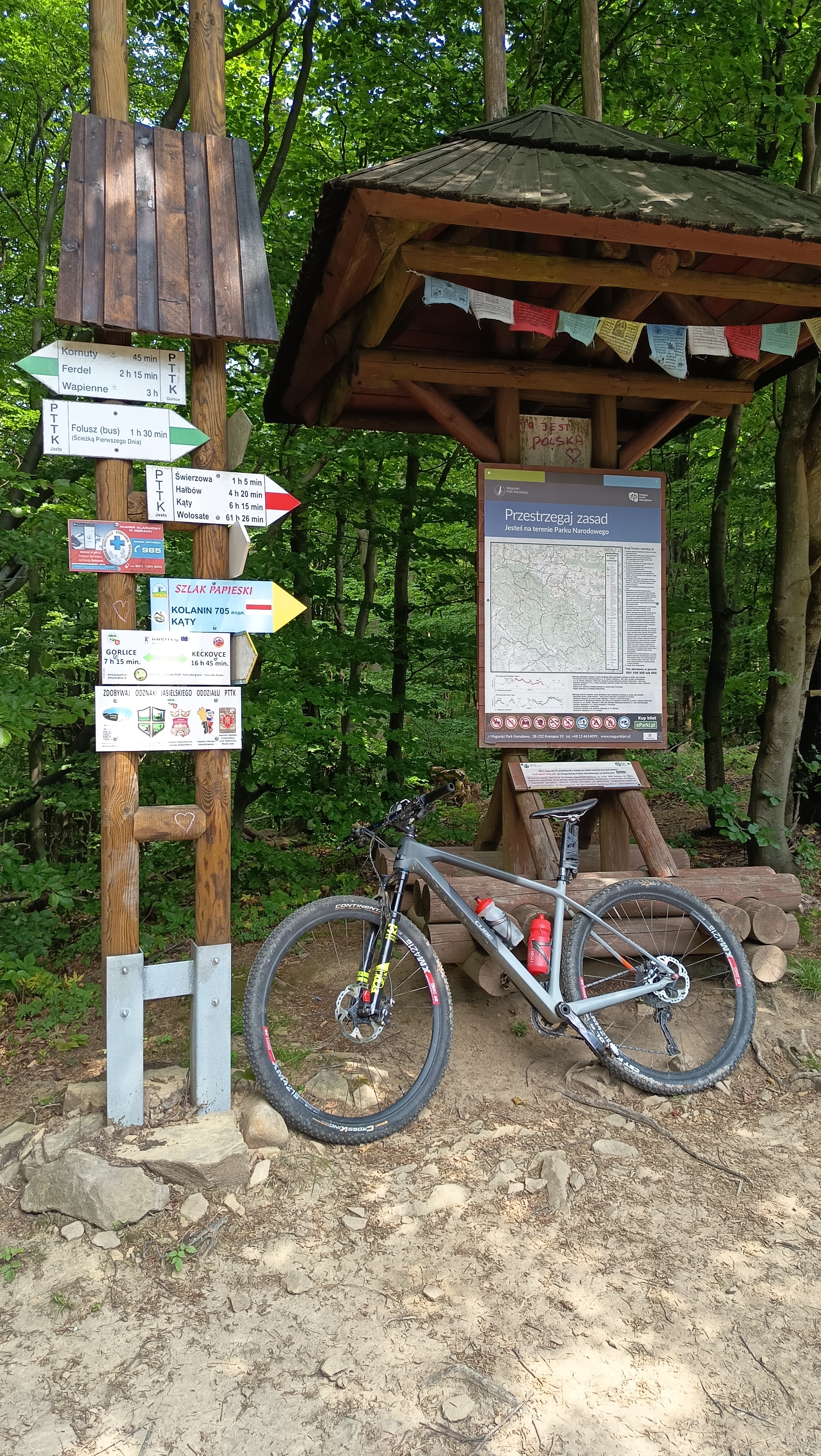
A perfect route for a trip towards the center of the Bieszczady... The road is not too difficult and without major climbs that could cause serious challenges. Along the way, I recommend stopping at several wooden churches... highly recommended!
created this 13 years ago
Route quality
Road
16.7 km
(29 %)
Track
5.8 km
(10 %)
Paved
51.3 km
(89 %)
Unpaved
3.5 km
(6 %)
Asphalt
50.7 km
(88 %)
Ground
1.7 km
(3 %)
Continue with Bikemap
You would like to ride Trasa Krempna - Komańcza or customize it for your own trip? Here is what you can do with this Bikemap route:
Free trial for 3 days, or one-time payment. More about Bikemap Premium.
Discover more Premium features.
Get Bikemap PremiumFrom our community
Open it in the app