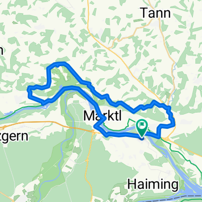
Julbach / Hart nach Gendorf
- 18.1 km
- 140 m
- 90 m
- Stammham, Bavaria, Germany
This is my work route. And my first route.
Very flat, 50/50 asphalt/gravel.
Track
7.4 km41 %Quiet road
6.7 km37 %Paved
8.5 km(47 %)Unpaved
7.1 km(39 %)Asphalt
7.2 km40 %Gravel
7.1 km39 %Free trial for 3 days, or one-time payment. More about Bikemap Premium.
Discover more Premium features.
Get Bikemap PremiumOpen it in the app