

Morrow, OH to Augusta, KY
A cycling route starting in Morrow, Ohio, United States.
Overview
About this route
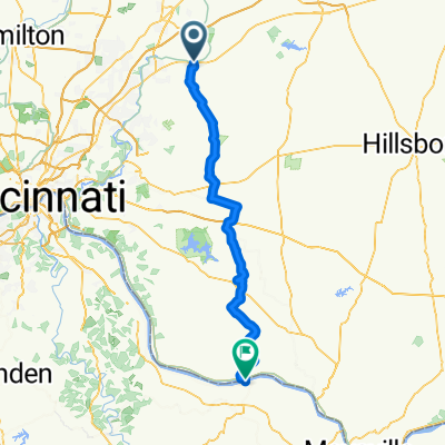
This route connects my Lafayette - Cincinnati route and the Little Miami Trail to Augusta Kentucky via a car ferry. From Augusta my Crittenden to Maysville can be used to travel on in Kentucky.
- -:--
- Duration
- 85.7 km
- Distance
- 162 m
- Ascent
- 208 m
- Descent
- ---
- Avg. speed
- ---
- Max. altitude
Route highlights
Points of interest along the route
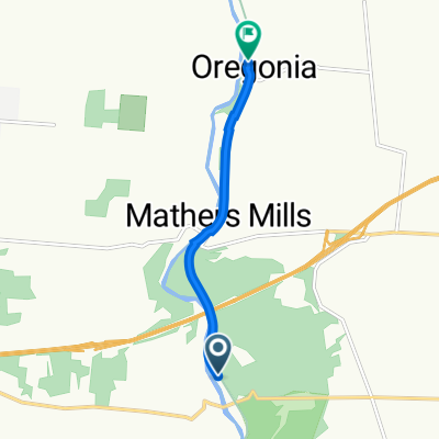
Point of interest after 17.1 km
Buc's Quick Stop
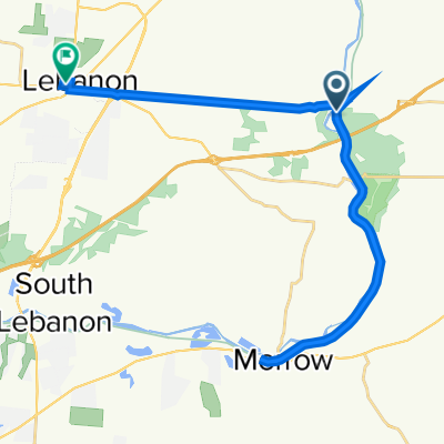
Point of interest after 42.4 km
Restaurants and lodging
Point of interest after 85.4 km
Ferry to Augusta KY
Continue with Bikemap
Use, edit, or download this cycling route
You would like to ride Morrow, OH to Augusta, KY or customize it for your own trip? Here is what you can do with this Bikemap route:
Free features
- Save this route as favorite or in collections
- Copy & plan your own version of this route
- Split it into stages to create a multi-day tour
- Sync your route with Garmin or Wahoo
Premium features
Free trial for 3 days, or one-time payment. More about Bikemap Premium.
- Navigate this route on iOS & Android
- Export a GPX / KML file of this route
- Create your custom printout (try it for free)
- Download this route for offline navigation
Discover more Premium features.
Get Bikemap PremiumFrom our community
Other popular routes starting in Morrow
 Morrow, OH to Augusta, KY
- Distance
- 85.7 km
- Ascent
- 162 m
- Descent
- 208 m
- Location
- Morrow, Ohio, United States
 Recovered Route
- Distance
- 5 km
- Ascent
- 6 m
- Descent
- 3 m
- Location
- Morrow, Ohio, United States
 Steady ride in Springfield
- Distance
- 554.2 km
- Ascent
- 1,685 m
- Descent
- 1,953 m
- Location
- Morrow, Ohio, United States
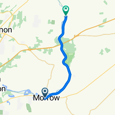
 21: Morrow to South Lebanon
- Distance
- 12.5 km
- Ascent
- 121 m
- Descent
- 132 m
- Location
- Morrow, Ohio, United States
 Recovered Route
- Distance
- 13.7 km
- Ascent
- 31 m
- Descent
- 44 m
- Location
- Morrow, Ohio, United States
 39.427° N -84.107° W to 39.435° N -84.208° W
- Distance
- 32.9 km
- Ascent
- 175 m
- Descent
- 168 m
- Location
- Morrow, Ohio, United States
 little Miami Morrow to Oregonia
- Distance
- 14 km
- Ascent
- 114 m
- Descent
- 97 m
- Location
- Morrow, Ohio, United States
 Caesar Creek
- Distance
- 38.3 km
- Ascent
- 220 m
- Descent
- 215 m
- Location
- Morrow, Ohio, United States
Open it in the app