

Jura2011(B): Col de la Givrine bis Goumois
A cycling route starting in Saint-Cergue, Canton of Vaud, Switzerland.
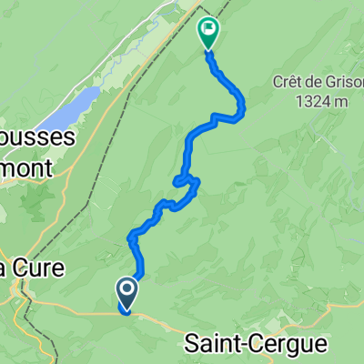
Overview
About this route
From the Col de la Givrine not always easy over the mountains, finally beautifully along the Doubs to Goumois (F)
- -:--
- Duration
- 191.2 km
- Distance
- 1,351 m
- Ascent
- 2,062 m
- Descent
- ---
- Avg. speed
- ---
- Max. altitude
Route quality
Waytypes & surfaces along the route
Waytypes
Track
57.4 km
(30 %)
Quiet road
42.1 km
(22 %)
Surfaces
Paved
57.4 km
(30 %)
Unpaved
32.5 km
(17 %)
Asphalt
40.2 km
(21 %)
Paved (undefined)
17.2 km
(9 %)
Continue with Bikemap
Use, edit, or download this cycling route
You would like to ride Jura2011(B): Col de la Givrine bis Goumois or customize it for your own trip? Here is what you can do with this Bikemap route:
Free features
- Save this route as favorite or in collections
- Copy & plan your own version of this route
- Split it into stages to create a multi-day tour
- Sync your route with Garmin or Wahoo
Premium features
Free trial for 3 days, or one-time payment. More about Bikemap Premium.
- Navigate this route on iOS & Android
- Export a GPX / KML file of this route
- Create your custom printout (try it for free)
- Download this route for offline navigation
Discover more Premium features.
Get Bikemap PremiumFrom our community
Other popular routes starting in Saint-Cergue
 La Givrine Cross Country Skiing
- Distance
- 36.2 km
- Ascent
- 421 m
- Descent
- 421 m
- Location
- Saint-Cergue, Canton of Vaud, Switzerland
 Jura ride
- Distance
- 69.3 km
- Ascent
- 909 m
- Descent
- 909 m
- Location
- Saint-Cergue, Canton of Vaud, Switzerland
 France Ultime : Belfort - Les Rousses
- Distance
- 214.3 km
- Ascent
- 1,500 m
- Descent
- 2,208 m
- Location
- Saint-Cergue, Canton of Vaud, Switzerland
 retour st cergues le Muids Nyon
- Distance
- 19.9 km
- Ascent
- 50 m
- Descent
- 707 m
- Location
- Saint-Cergue, Canton of Vaud, Switzerland
 Jura2011(B): Col de la Givrine bis Goumois
- Distance
- 191.2 km
- Ascent
- 1,351 m
- Descent
- 2,062 m
- Location
- Saint-Cergue, Canton of Vaud, Switzerland
 2020 - Gorets - J3 - P1
- Distance
- 11.9 km
- Ascent
- 459 m
- Descent
- 366 m
- Location
- Saint-Cergue, Canton of Vaud, Switzerland
 Bourg-en-Bresse - Les Rousses
- Distance
- 179 km
- Ascent
- 1,894 m
- Descent
- 2,728 m
- Location
- Saint-Cergue, Canton of Vaud, Switzerland
 St Cergue - Grutli - Les Fruitieres de Nyon
- Distance
- 24.8 km
- Ascent
- 503 m
- Descent
- 506 m
- Location
- Saint-Cergue, Canton of Vaud, Switzerland
Open it in the app