

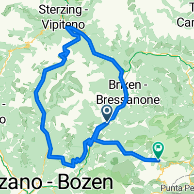
Rittner-Runde
A cycling route starting in Klausen, Trentino-Alto Adige, Italy.
Overview
About this route
Cycling path: Klausen-Bozen
(Cable car: Bozen-Oberbozen about 1000 m elevation gain)
then only panoramic trails
- -:--
- Duration
- 73.8 km
- Distance
- 2,089 m
- Ascent
- 2,089 m
- Descent
- ---
- Avg. speed
- ---
- Max. altitude

Continue with Bikemap
Use, edit, or download this cycling route
You would like to ride Rittner-Runde or customize it for your own trip? Here is what you can do with this Bikemap route:
Free features
- Save this route as favorite or in collections
- Copy & plan your own version of this route
- Sync your route with Garmin or Wahoo
Premium features
Free trial for 3 days, or one-time payment. More about Bikemap Premium.
- Navigate this route on iOS & Android
- Export a GPX / KML file of this route
- Create your custom printout (try it for free)
- Download this route for offline navigation
Discover more Premium features.
Get Bikemap PremiumFrom our community
Other popular routes starting in Klausen
 Südl. Gardasee Radreise
- Distance
- 333.1 km
- Ascent
- 7,820 m
- Descent
- 7,481 m
- Location
- Klausen, Trentino-Alto Adige, Italy
 Klausen-Klobenstein-Sarntal-PenserJoch_Wolkenstein
- Distance
- 159.3 km
- Ascent
- 3,465 m
- Descent
- 2,381 m
- Location
- Klausen, Trentino-Alto Adige, Italy
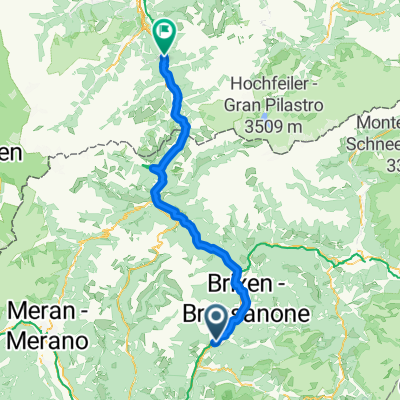 Klausen Brixen Matrei
- Distance
- 81.4 km
- Ascent
- 2,037 m
- Descent
- 1,596 m
- Location
- Klausen, Trentino-Alto Adige, Italy
 2021 #1 Chuisa-Toblach
- Distance
- 86.9 km
- Ascent
- 966 m
- Descent
- 286 m
- Location
- Klausen, Trentino-Alto Adige, Italy
 Winh.-Gardasee-2.Tag-2
- Distance
- 166 km
- Ascent
- 112 m
- Descent
- 548 m
- Location
- Klausen, Trentino-Alto Adige, Italy
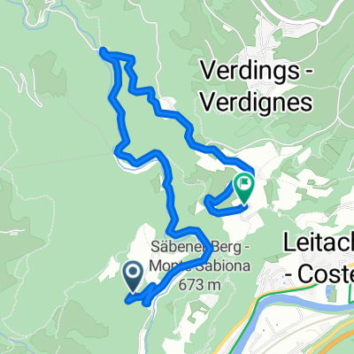
 Klausen - Plose (Seilbahn) - Villnösstal2
- Distance
- 53.4 km
- Ascent
- 1,986 m
- Descent
- 1,984 m
- Location
- Klausen, Trentino-Alto Adige, Italy
 Dolomitenrunde No2 2011
- Distance
- 139.3 km
- Ascent
- 3,314 m
- Descent
- 3,307 m
- Location
- Klausen, Trentino-Alto Adige, Italy
 Muttner, Chiusa až Via Pradello, Chiusa
- Distance
- 4.8 km
- Ascent
- 233 m
- Descent
- 173 m
- Location
- Klausen, Trentino-Alto Adige, Italy
Open it in the app