Kraichgau Ironman
- 86.9 km
- 688 m
- 688 m
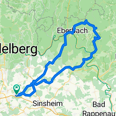
- Dielheim, Baden-Wurttemberg, Germany
A cycling route starting in Dielheim, Baden-Wurttemberg, Germany.
Overview
This route leads from Dielheim to St.Leon-Rot and then to Bruchsal.
If it hadn't started to rain in Bruchsal on the way back and my phone hadn't gotten wet, it would have been a really nice route.
created this 16 years ago
Route quality
Track
28.6 km
46 %
Quiet road
14.3 km
23 %
Paved
52.2 km
(84 %)
Unpaved
5.6 km
(9 %)
Asphalt
47.3 km
76 %
Paved (undefined)
2.5 km
4 %
Continue with Bikemap
You would like to ride Dielheim - Bruchsal - Dielheim or customize it for your own trip? Here is what you can do with this Bikemap route:
Free trial for 3 days, or one-time payment. More about Bikemap Premium.
Discover more Premium features.
Get Bikemap PremiumFrom our community
Open it in the app