

beaujolais training
A cycling route starting in Gleizé, Auvergne-Rhône-Alpes, France.
Overview
About this route
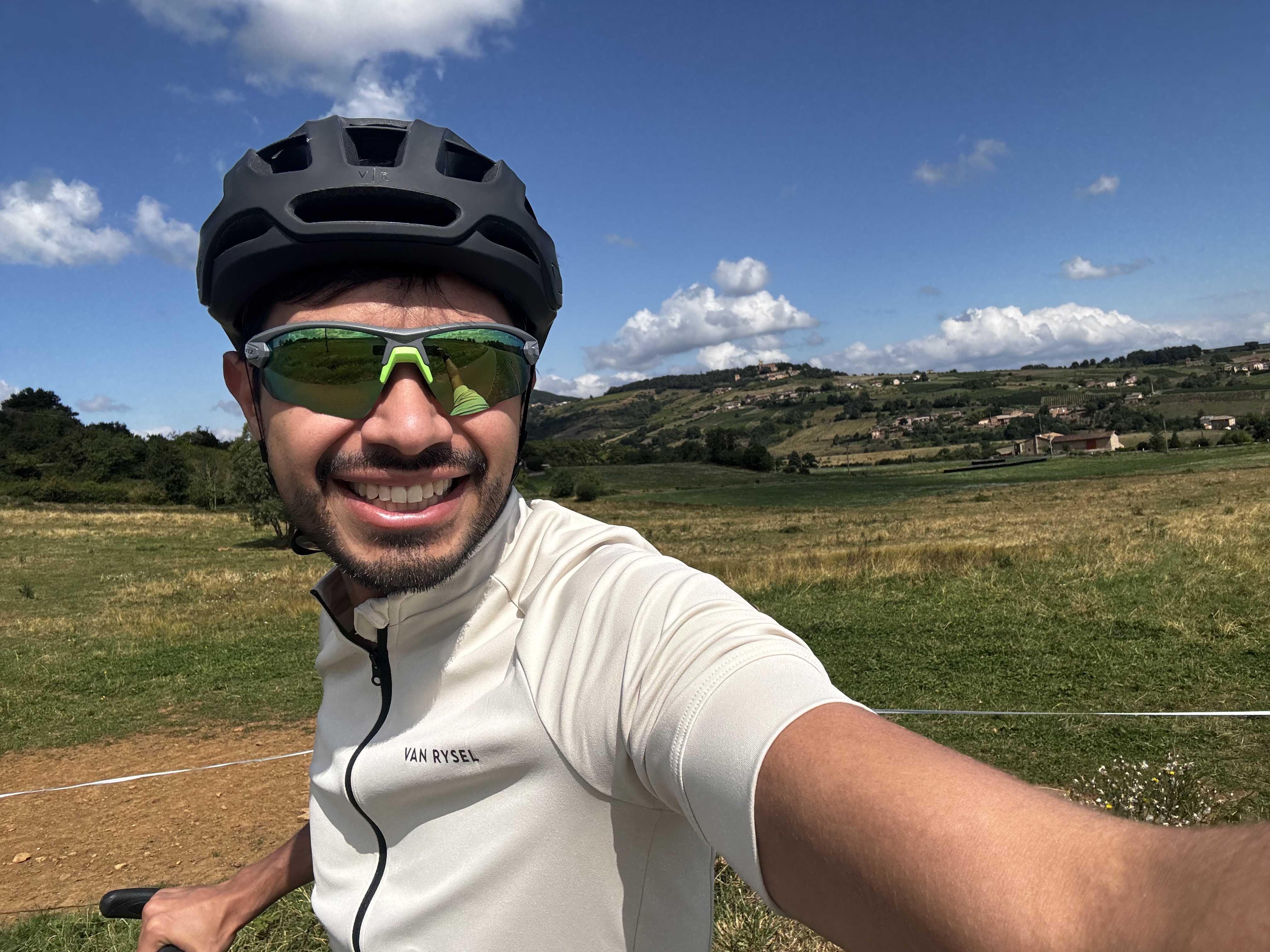
3/4 route de campagne avec quelques passages en chemins et sentiers dans les vignes
Panorama depuyis la chapelle du mont brouilly
- -:--
- Duration
- 43.4 km
- Distance
- 438 m
- Ascent
- 438 m
- Descent
- ---
- Avg. speed
- ---
- Max. altitude

Route quality
Waytypes & surfaces along the route
Waytypes
Quiet road
19.1 km
(44 %)
Road
15.6 km
(36 %)
Surfaces
Paved
21.2 km
(49 %)
Asphalt
21.2 km
(49 %)
Undefined
22.1 km
(51 %)
Continue with Bikemap
Use, edit, or download this cycling route
You would like to ride beaujolais training or customize it for your own trip? Here is what you can do with this Bikemap route:
Free features
- Save this route as favorite or in collections
- Copy & plan your own version of this route
- Sync your route with Garmin or Wahoo
Premium features
Free trial for 3 days, or one-time payment. More about Bikemap Premium.
- Navigate this route on iOS & Android
- Export a GPX / KML file of this route
- Create your custom printout (try it for free)
- Download this route for offline navigation
Discover more Premium features.
Get Bikemap PremiumFrom our community
Other popular routes starting in Gleizé
 Col de la croix Rosier 21/09/2013
- Distance
- 45.2 km
- Ascent
- 786 m
- Descent
- 788 m
- Location
- Gleizé, Auvergne-Rhône-Alpes, France
 a8 Cols de la Cx Montmain et du Joncin
- Distance
- 55.6 km
- Ascent
- 985 m
- Descent
- 988 m
- Location
- Gleizé, Auvergne-Rhône-Alpes, France
 Motocross de Lamure
- Distance
- 51.7 km
- Ascent
- 989 m
- Descent
- 990 m
- Location
- Gleizé, Auvergne-Rhône-Alpes, France
 Beaujolais village
- Distance
- 43.7 km
- Ascent
- 607 m
- Descent
- 607 m
- Location
- Gleizé, Auvergne-Rhône-Alpes, France
 Le Beaujolais en VTT
- Distance
- 29.9 km
- Ascent
- 636 m
- Descent
- 633 m
- Location
- Gleizé, Auvergne-Rhône-Alpes, France
 beaujolais training
- Distance
- 43.4 km
- Ascent
- 438 m
- Descent
- 438 m
- Location
- Gleizé, Auvergne-Rhône-Alpes, France
 Alice,Adrien et Steph en VTT
- Distance
- 17.4 km
- Ascent
- 216 m
- Descent
- 217 m
- Location
- Gleizé, Auvergne-Rhône-Alpes, France
 Chemin de la Rippe, Gleizé a Chemin de la Rippe, Gleizé
- Distance
- 12 km
- Ascent
- 155 m
- Descent
- 156 m
- Location
- Gleizé, Auvergne-Rhône-Alpes, France
Open it in the app