Franse Alpen stage3
A cycling route starting in Modane, Auvergne-Rh么ne-Alpes, France.
Overview
About this route
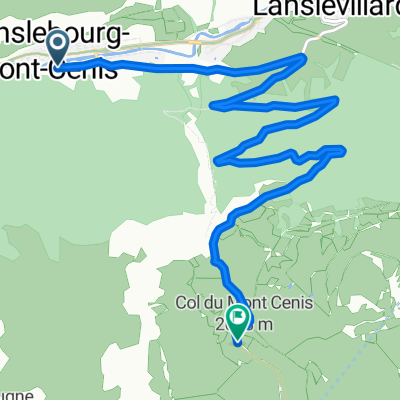
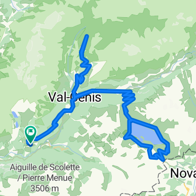
Stage: Modane - Le Bourg-d'Oisans Cols Col du Galibier
- -:--
- Duration
- 100.8 km
- Distance
- 2,651 m
- Ascent
- 2,747 m
- Descent
- ---
- Avg. speed
- 2,626 m
- Max. altitude
Route quality
Waytypes & surfaces along the route
Waytypes
Quiet road
5 km
(5 %)
Path
5 km
(5 %)
Surfaces
Paved
77.6 km
(77 %)
Unpaved
1 km
(1 %)
Asphalt
77.6 km
(77 %)
Ground
1 km
(1 %)
Undefined
22.2 km
(22 %)
Continue with Bikemap
Use, edit, or download this cycling route
You would like to ride Franse Alpen stage3 or customize it for your own trip? Here is what you can do with this Bikemap route:
Free features
- Save this route as favorite or in collections
- Copy & plan your own version of this route
- Split it into stages to create a multi-day tour
- Sync your route with Garmin or Wahoo
Premium features
Free trial for 3 days, or one-time payment. More about Bikemap Premium.
- Navigate this route on iOS & Android
- Export a GPX / KML file of this route
- Create your custom printout (try it for free)
- Download this route for offline navigation
Discover more Premium features.
Get Bikemap PremiumFrom our community
Other popular routes starting in Modane
- Grandes Alpes_Kudrna_Etapa4
- Distance
- 94.5 km
- Ascent
- 2,050 m
- Descent
- 1,985 m
- Location
- Modane, Auvergne-Rh么ne-Alpes, France
- Tour de France 2016 dzie艅 10
- Distance
- 88.8 km
- Ascent
- 2,020 m
- Descent
- 1,898 m
- Location
- Modane, Auvergne-Rh么ne-Alpes, France
- tour france 2011 stage 19
- Distance
- 110.9 km
- Ascent
- 3,242 m
- Descent
- 2,452 m
- Location
- Modane, Auvergne-Rh么ne-Alpes, France
- Tour de France 2015 - Stage 20
- Distance
- 113.6 km
- Ascent
- 2,809 m
- Descent
- 2,033 m
- Location
- Modane, Auvergne-Rh么ne-Alpes, France
- Francia Alpok 04 v谩ndor
- Distance
- 101.1 km
- Ascent
- 2,009 m
- Descent
- 2,127 m
- Location
- Modane, Auvergne-Rh么ne-Alpes, France
- Westalpen X 22 D 6 - 10
- Distance
- 180 km
- Ascent
- 6,775 m
- Descent
- 7,172 m
- Location
- Modane, Auvergne-Rh么ne-Alpes, France
- Francia_2018_4
- Distance
- 65.5 km
- Ascent
- 1,362 m
- Descent
- 1,923 m
- Location
- Modane, Auvergne-Rh么ne-Alpes, France
- Col de l'Iseran - South Side
- Distance
- 65.3 km
- Ascent
- 1,482 m
- Descent
- 1,481 m
- Location
- Modane, Auvergne-Rh么ne-Alpes, France
Open it in the app