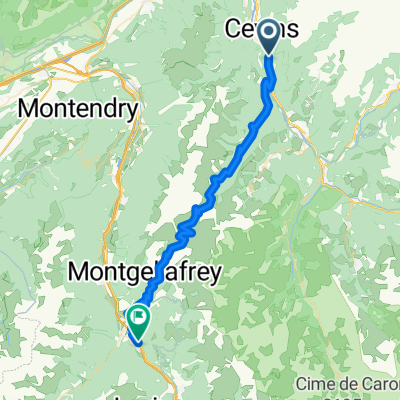
tdf9
- 49.6 km
- 1,628 m
- 1,569 m
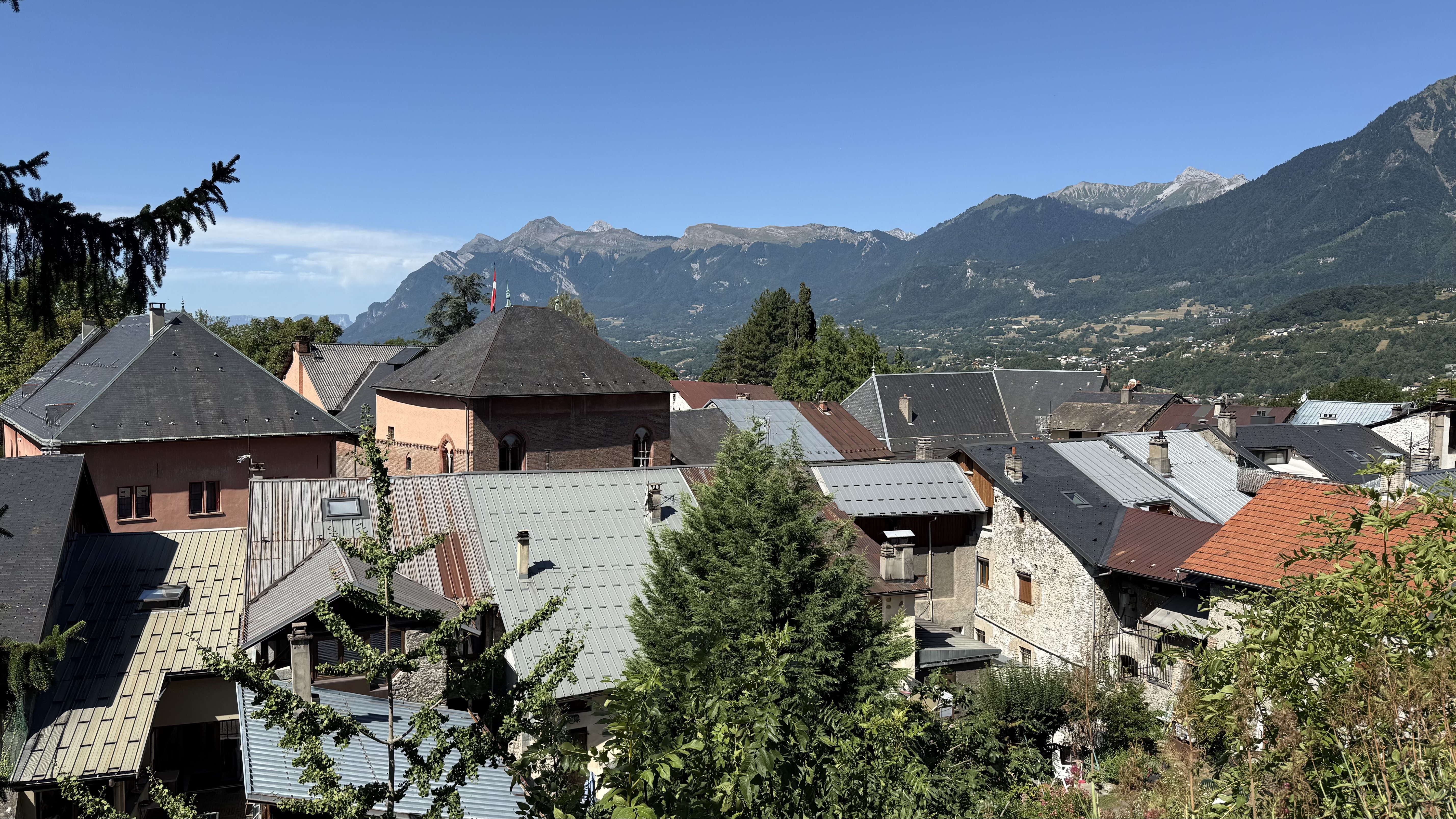
- La Bâthie, Auvergne-Rhône-Alpes, France
stage: Cevins - Taninges
cols: Col de la Ramaz Col du Marais Col de la Colombiere Col de la Romme Col de Chatillon
Road
20 km18 %Quiet road
15.6 km14 %Paved
76.7 km(69 %)Unpaved
2.2 km(2 %)Asphalt
76.7 km69 %Unpaved (undefined)
1.1 km1 %Free trial for 3 days, or one-time payment. More about Bikemap Premium.
Discover more Premium features.
Get Bikemap PremiumOpen it in the app