Wohnstraße 30, Vomperbach nach Auweg 22, Neu-Terfens
- 60.7 km
- 716 m
- 1,163 m
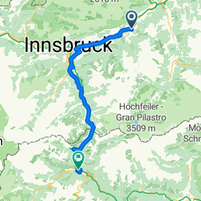
- Pill, Tyrol, Austria
A cycling route starting in Pill, Tyrol, Austria.
Overview
Weerberg-Geisljoch-Finkenberg-Schlegeis Reservoir-Dominikushütte Hut
created this 13 years ago
Route quality
Track
21.6 km
(37 %)
Quiet road
16.3 km
(28 %)
Paved
21 km
(36 %)
Unpaved
19.2 km
(33 %)
Asphalt
18.1 km
(31 %)
Gravel
16.9 km
(29 %)
Continue with Bikemap
You would like to ride Weerberg - Dominikushütte or customize it for your own trip? Here is what you can do with this Bikemap route:
Free trial for 3 days, or one-time payment. More about Bikemap Premium.
Discover more Premium features.
Get Bikemap PremiumFrom our community
Open it in the app