RT 50km Radfahren im Sanktwendeler Land
- 48.1 km
- 957 m
- 955 m
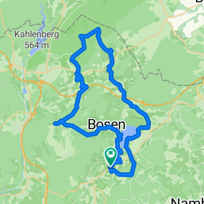
- Oberthal, Saarland, Germany
A cycling route starting in Oberthal, Saarland, Germany.
Overview
Start & finish: Freizeitpark Neunkirchen (Nahe) From here the route continues via the Saar–Bostalsee cycle route (RW), with a detour to the source of the Nahe and the Katrinek Chapel in Selbach, on to the Hofgut Imsbach with its estate chapel and the Johann-Adams mill. From there we follow the R3 cycle route (RW) to Tholey and its Benedictine abbey. The ride continues on the Wendalinus-RW to Oberthal, which we shortly afterwards leave heading for Namborn, and at Wolfersweiler we join the Bahnradweg Sankt Wendeler Land.
created this 12 days ago
Route quality
Quiet road
13.9 km
29 %
Path
13.5 km
28 %
Paved
41.4 km
(86 %)
Unpaved
4.3 km
(9 %)
Asphalt
35.6 km
74 %
Paved (undefined)
5.8 km
12 %
Continue with Bikemap
You would like to ride RT 50km Radfahren im Sanktwendeler Land or customize it for your own trip? Here is what you can do with this Bikemap route:
Free trial for 3 days, or one-time payment. More about Bikemap Premium.
Discover more Premium features.
Get Bikemap PremiumFrom our community
Open it in the app