

SEGMENTO A8 Acquedotto
A cycling route starting in Borzonasca, Liguria, Italy.
Overview
About this route
This trail marked with sign 'A8' connects the road ascending to Rifugio Prato Mollo with the road from Prato Sopra la Croce rising to Passo dei Ghiffi (ancient aqueduct).
The trail features some quite exposed sections and requires overcoming brief landslide-prone stretches, as well as two gates placed before and after a section passing beneath a rock ledge.
Additionally, the 'dog rose' and some areas where vegetation thickens make pedaling very challenging.
In the direction of travel, it takes 1h 15' longer; in the opposite direction, more time is needed due to climbing 200 m elevation (quarry).
NOT RECOMMENDED
- -:--
- Duration
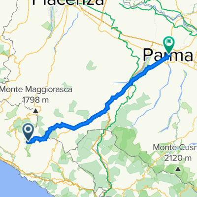
- 5 km
- Distance
- 308 m
- Ascent
- 368 m
- Descent
- ---
- Avg. speed
- ---
- Max. altitude

Continue with Bikemap
Use, edit, or download this cycling route
You would like to ride SEGMENTO A8 Acquedotto or customize it for your own trip? Here is what you can do with this Bikemap route:
Free features
- Save this route as favorite or in collections
- Copy & plan your own version of this route
- Sync your route with Garmin or Wahoo
Premium features
Free trial for 3 days, or one-time payment. More about Bikemap Premium.
- Navigate this route on iOS & Android
- Export a GPX / KML file of this route
- Create your custom printout (try it for free)
- Download this route for offline navigation
Discover more Premium features.
Get Bikemap PremiumFrom our community
Other popular routes starting in Borzonasca
 Rifugio Monte Aiona - Cabanne
- Distance
- 17.4 km
- Ascent
- 287 m
- Descent
- 964 m
- Location
- Borzonasca, Liguria, Italy
 SEGMENTO A8 Acquedotto
- Distance
- 5 km
- Ascent
- 308 m
- Descent
- 368 m
- Location
- Borzonasca, Liguria, Italy
 Alta via dei monti liguri trekking tappa 36
- Distance
- 14.2 km
- Ascent
- 523 m
- Descent
- 364 m
- Location
- Borzonasca, Liguria, Italy
 giacopiane
- Distance
- 11.7 km
- Ascent
- 920 m
- Descent
- 55 m
- Location
- Borzonasca, Liguria, Italy
 Stage 7 Passo del Bocco - Parma
- Distance
- 101 km
- Ascent
- 859 m
- Descent
- 1,762 m
- Location
- Borzonasca, Liguria, Italy
 Laghi Giacopiane_07.08.2016_104447.gpx
- Distance
- 27.1 km
- Ascent
- 810 m
- Descent
- 811 m
- Location
- Borzonasca, Liguria, Italy
 ANELLO del MONTE AIONA
- Distance
- 22.6 km
- Ascent
- 826 m
- Descent
- 782 m
- Location
- Borzonasca, Liguria, Italy
 Lago di Giacopane
- Distance
- 30.5 km
- Ascent
- 913 m
- Descent
- 913 m
- Location
- Borzonasca, Liguria, Italy
Open it in the app