

Modřanská rokle- Davle
A cycling route starting in Modřany, Prague, Czechia.
Overview
About this route
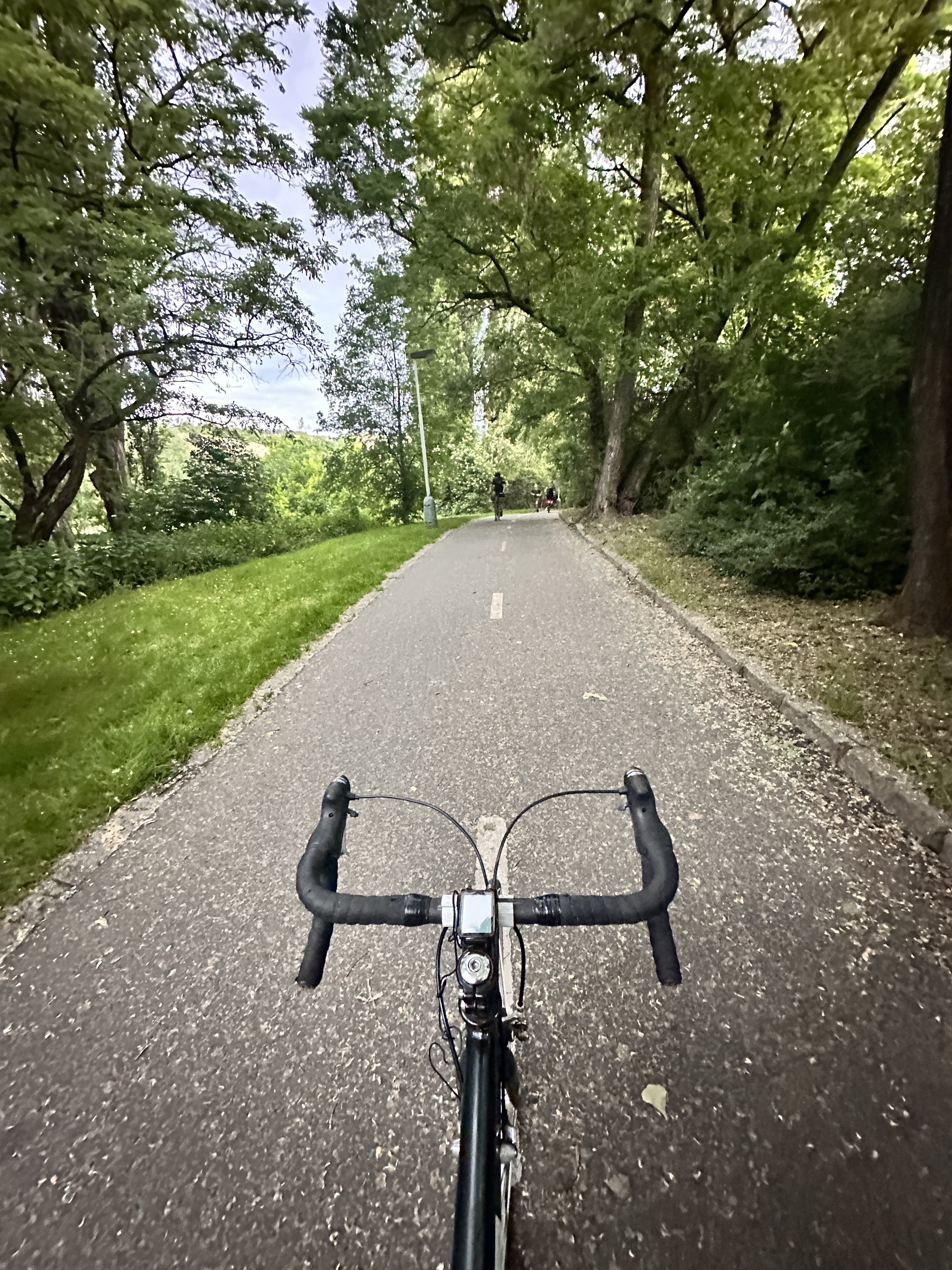
The start is on the bike path all the way to Libře, then up the green path to Jílové, at the square in Jílové turn left onto the bike path towards Kamený Přívoz, there cross the bridge and continue on the red path along the Sázava downstream to Davle. This part of the route is quite demanding; sometimes the bike must be carried.
- -:--
- Duration
- 35.6 km
- Distance
- 522 m
- Ascent
- 513 m
- Descent
- ---
- Avg. speed
- ---
- Max. altitude

Route highlights
Points of interest along the route

Point of interest after 31.9 km
Continue with Bikemap
Use, edit, or download this cycling route
You would like to ride Modřanská rokle- Davle or customize it for your own trip? Here is what you can do with this Bikemap route:
Free features
- Save this route as favorite or in collections
- Copy & plan your own version of this route
- Sync your route with Garmin or Wahoo
Premium features
Free trial for 3 days, or one-time payment. More about Bikemap Premium.
- Navigate this route on iOS & Android
- Export a GPX / KML file of this route
- Create your custom printout (try it for free)
- Download this route for offline navigation
Discover more Premium features.
Get Bikemap PremiumFrom our community
Other popular routes starting in Modřany
 Obchodní náměstí do Na Blanseku
- Distance
- 662.4 km
- Ascent
- 4,137 m
- Descent
- 4,172 m
- Location
- Modřany, Prague, Czechia
 Modřany-pobřeží-sever, Prague 12 to Karlštejn, Karlštejn
- Distance
- 28.7 km
- Ascent
- 147 m
- Descent
- 124 m
- Location
- Modřany, Prague, Czechia
 Vltavanů, Praha 12 do Podolské nábř, Praha 4
- Distance
- 5.6 km
- Ascent
- 18 m
- Descent
- 20 m
- Location
- Modřany, Prague, Czechia
 Nahoru dolu kolem Sázavy a Vltavy
- Distance
- 69.8 km
- Ascent
- 1,119 m
- Descent
- 1,043 m
- Location
- Modřany, Prague, Czechia
 Brdy, Záhořansky potok
- Distance
- 64.8 km
- Ascent
- 1,063 m
- Descent
- 1,017 m
- Location
- Modřany, Prague, Czechia
 Vyjížďka na elektrokolech Velká Chuhle - Černošice
- Distance
- 15.7 km
- Ascent
- 168 m
- Descent
- 164 m
- Location
- Modřany, Prague, Czechia
 Odemykání přehazovaček
- Distance
- 62.4 km
- Ascent
- 632 m
- Descent
- 619 m
- Location
- Modřany, Prague, Czechia
 Kolem slunečního boha
- Distance
- 145.2 km
- Ascent
- 892 m
- Descent
- 892 m
- Location
- Modřany, Prague, Czechia
Open it in the app