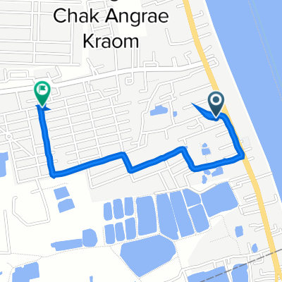
Slow ride
- 9.2 km
- 71 m
- 49 m
- Ta Khmau, Kandal, Cambodia
The cycling route starts near the river, heading east for around ten kilometres. The path is mostly flat, with a few gentle inclines and declines. As you approach the end of the route, the elevation increases, reaching a maximum height of ten metres.

Free trial for 3 days, or one-time payment. More about Bikemap Premium.
Discover more Premium features.
Get Bikemap PremiumOpen it in the app