5915 Waldrick Rd SE, Tenino to 8209 Ridgefield Ave NE, Lacey
- 47.1 km
- 267 m
- 277 m
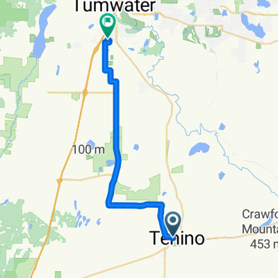
- Tenino, Washington, United States
A cycling route starting in Tenino, Washington, United States.
Overview
Rolling hills in the first 8 miles, followed by long flat stretch following the Skookumchuck River.
created this 13 years ago
Route quality
Road
18.8 km
(57 %)
Cycleway
7.9 km
(24 %)
Quiet road
6.3 km
(19 %)
Paved
23.8 km
(72 %)
Asphalt
23.8 km
(72 %)
Undefined
9.3 km
(28 %)
Continue with Bikemap
You would like to ride Johnson Creek Road Loop or customize it for your own trip? Here is what you can do with this Bikemap route:
Free trial for 3 days, or one-time payment. More about Bikemap Premium.
Discover more Premium features.
Get Bikemap PremiumFrom our community
Open it in the app