

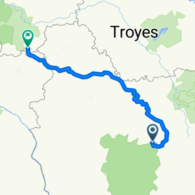
Semur-en-Auxois-Bourg-en-Bresse TDF 2007 PCM Spain
A cycling route starting in Semur-en-Auxois, Bourgogne-Franche-Comté, France.
Overview
About this route
The 6th stage of the 2007 tour for pcm spain
- -:--
- Duration
- 202.8 km
- Distance
- 644 m
- Ascent
- 686 m
- Descent
- ---
- Avg. speed
- ---
- Max. altitude
Route quality
Waytypes & surfaces along the route
Waytypes
Quiet road
26.4 km
(13 %)
Road
24.3 km
(12 %)
Surfaces
Paved
107.5 km
(53 %)
Unpaved
4.1 km
(2 %)
Asphalt
105.5 km
(52 %)
Paved (undefined)
2 km
(1 %)
Continue with Bikemap
Use, edit, or download this cycling route
You would like to ride Semur-en-Auxois-Bourg-en-Bresse TDF 2007 PCM Spain or customize it for your own trip? Here is what you can do with this Bikemap route:
Free features
- Save this route as favorite or in collections
- Copy & plan your own version of this route
- Split it into stages to create a multi-day tour
- Sync your route with Garmin or Wahoo
Premium features
Free trial for 3 days, or one-time payment. More about Bikemap Premium.
- Navigate this route on iOS & Android
- Export a GPX / KML file of this route
- Create your custom printout (try it for free)
- Download this route for offline navigation
Discover more Premium features.
Get Bikemap PremiumFrom our community
Other popular routes starting in Semur-en-Auxois
 Rue de Semur 18, Époisses nach Rue du Bourg Voisin 3, Semur-en-Auxois
- Distance
- 18.5 km
- Ascent
- 133 m
- Descent
- 120 m
- Location
- Semur-en-Auxois, Bourgogne-Franche-Comté, France
 Semur-en-Auxois-Bourg-en-Bresse TDF 2007 PCM Spain
- Distance
- 202.8 km
- Ascent
- 644 m
- Descent
- 686 m
- Location
- Semur-en-Auxois, Bourgogne-Franche-Comté, France
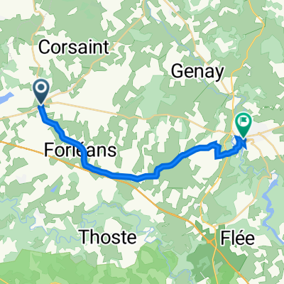
 Cyclo des monts de l'Auxois
- Distance
- 84.1 km
- Ascent
- 903 m
- Descent
- 903 m
- Location
- Semur-en-Auxois, Bourgogne-Franche-Comté, France
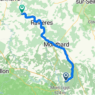 Semur-en-Auxois - Ancy-le-Franc
- Distance
- 65 km
- Ascent
- 94 m
- Descent
- 265 m
- Location
- Semur-en-Auxois, Bourgogne-Franche-Comté, France
 Semur-en-Auxois - Égreville
- Distance
- 218.1 km
- Ascent
- 698 m
- Descent
- 946 m
- Location
- Semur-en-Auxois, Bourgogne-Franche-Comté, France
 09 Semur über Avallon nach Pontaubert_58km
- Distance
- 51.7 km
- Ascent
- 341 m
- Descent
- 464 m
- Location
- Semur-en-Auxois, Bourgogne-Franche-Comté, France
 Etape 3 Semur en Auxois - Dijon
- Distance
- 99.9 km
- Ascent
- 215 m
- Descent
- 248 m
- Location
- Semur-en-Auxois, Bourgogne-Franche-Comté, France
 essai
essai- Distance
- 16.7 km
- Ascent
- 163 m
- Descent
- 163 m
- Location
- Semur-en-Auxois, Bourgogne-Franche-Comté, France
Open it in the app