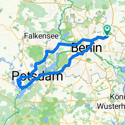
Welsestraße to Welsestraße 3A
- 118.9 km
- 454 m
- 490 m
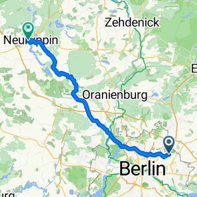
- Wartenberg, State of Berlin, Germany
A cycling route starting in Wartenberg, State of Berlin, Germany.
Overview
From Großglienicke to Brandenburg, there is a great cycling path, sometimes only on one side of the road, but in top condition.
created this 13 years ago
Route quality
Path
30.4 km
(35 %)
Quiet road
13.9 km
(16 %)
Paved
66 km
(76 %)
Unpaved
0.9 km
(1 %)
Asphalt
59 km
(68 %)
Concrete
6.1 km
(7 %)
Continue with Bikemap
You would like to ride Bln HsH - Potsdam - Brandenburg a.d.H. 86,7 Km or customize it for your own trip? Here is what you can do with this Bikemap route:
Free trial for 3 days, or one-time payment. More about Bikemap Premium.
Discover more Premium features.
Get Bikemap PremiumFrom our community
Open it in the app