

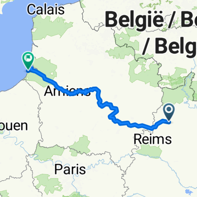
From Mamer to Paris
Sault-lès-Rethel - Bucy-le-Long
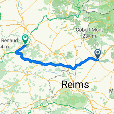
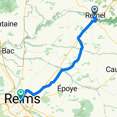
A cycling route starting in Sault-lès-Rethel, Grand Est, France.
Overview
About this route
0
- 5:49 h
- Duration
- 87.4 km
- Distance
- 631 m
- Ascent
- 591 m
- Descent
- 15 km/h
- Avg. speed
- 193 m
- Max. altitude
Julie Stamenic
created this 2 months ago
Part of
From Mamer to Paris
5 stages
Route quality
Waytypes & surfaces along the route
Waytypes
Road
27.1 km
31 %
Quiet road
14.9 km
17 %
Surfaces
Paved
32.3 km
(37 %)
Unpaved
14.9 km
(17 %)
Asphalt
28 km
32 %
Gravel
6.1 km
7 %
Continue with Bikemap
Use, edit, or download this cycling route
You would like to ride Sault-lès-Rethel - Bucy-le-Long or customize it for your own trip? Here is what you can do with this Bikemap route:
Free features
- Save this route as favorite or in collections
- Copy & plan your own version of this route
- Split it into stages to create a multi-day tour
- Sync your route with Garmin or Wahoo
Premium features
Free trial for 3 days, or one-time payment. More about Bikemap Premium.
- Navigate this route on iOS & Android
- Export a GPX / KML file of this route
- Create your custom printout (try it for free)
- Download this route for offline navigation
Discover more Premium features.
Get Bikemap PremiumFrom our community
Other popular routes starting in Sault-lès-Rethel
- Rue de la Cité, Sault-lès-Rethel à Rue de Bazeilles, Rethel0
- 67.9 km
- 677 m
- 675 m
- Sault-lès-Rethel, Grand Est, France
- De 18 Rue Hippolyte Noiret, Rethel à 18 Rue Hippolyte Noiret, Rethel0
- 5.1 km
- 13 m
- 13 m
- Sault-lès-Rethel, Grand Est, France


Open it in the app