

Kahlgrundrundfahrt
A cycling route starting in Kahl am Main, Bavaria, Germany.
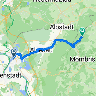
Overview
About this route
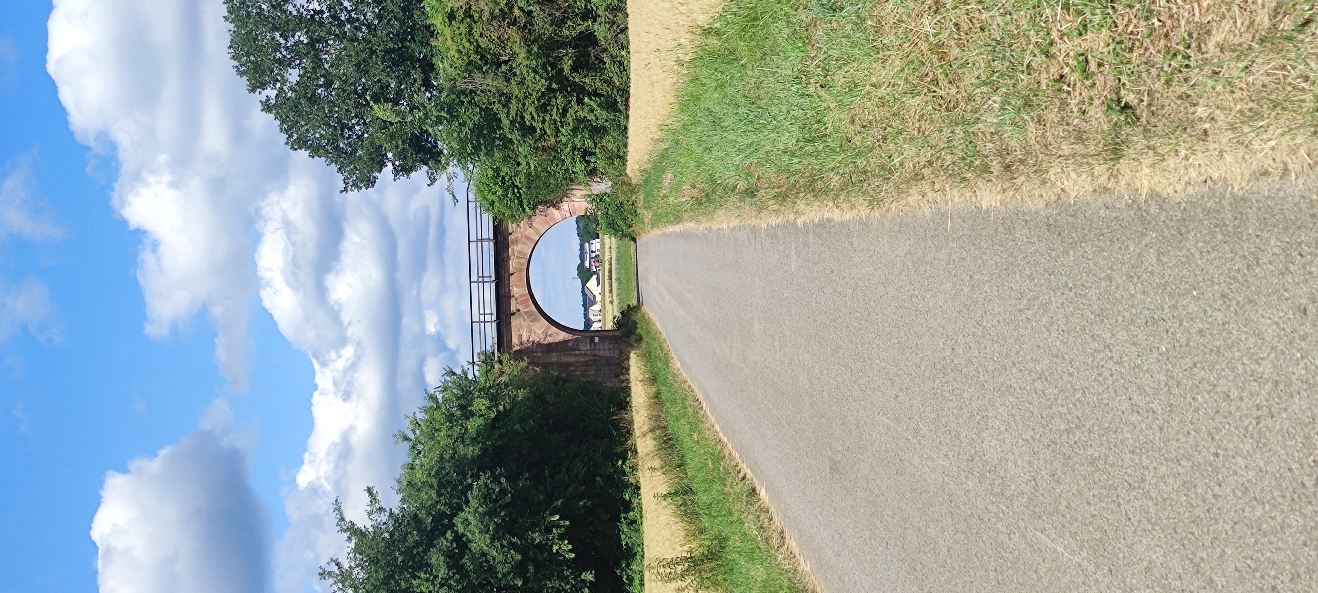
Kahlgrund loop with return via the Hohe Straße to Frankfurt. Except for short sections, everything is asphalt, mostly on little-traveled roads or agricultural paths, almost 1400 meters of elevation, especially in the first part with steep climbs of up to 15% gradient
- -:--
- Duration
- 104.9 km
- Distance
- 1,417 m
- Ascent
- 1,365 m
- Descent
- ---
- Avg. speed
- 391 m
- Max. altitude
Route quality
Waytypes & surfaces along the route
Waytypes
Track
26.2 km
(25 %)
Quiet road
24.1 km
(23 %)
Surfaces
Paved
77.6 km
(74 %)
Unpaved
8.4 km
(8 %)
Asphalt
75.5 km
(72 %)
Ground
5.2 km
(5 %)
Continue with Bikemap
Use, edit, or download this cycling route
You would like to ride Kahlgrundrundfahrt or customize it for your own trip? Here is what you can do with this Bikemap route:
Free features
- Save this route as favorite or in collections
- Copy & plan your own version of this route
- Split it into stages to create a multi-day tour
- Sync your route with Garmin or Wahoo
Premium features
Free trial for 3 days, or one-time payment. More about Bikemap Premium.
- Navigate this route on iOS & Android
- Export a GPX / KML file of this route
- Create your custom printout (try it for free)
- Download this route for offline navigation
Discover more Premium features.
Get Bikemap PremiumFrom our community
Other popular routes starting in Kahl am Main
 14.07.17 Karlstein-Düdelsheim
- Distance
- 69.7 km
- Ascent
- 209 m
- Descent
- 188 m
- Location
- Kahl am Main, Bavaria, Germany
 kahl to Aschaffenburg
- Distance
- 19.1 km
- Ascent
- 205 m
- Descent
- 199 m
- Location
- Kahl am Main, Bavaria, Germany
 Spessart South-West Extreme Part I
- Distance
- 48.3 km
- Ascent
- 851 m
- Descent
- 851 m
- Location
- Kahl am Main, Bavaria, Germany
 Kahl-Teufelsmühle Ommersbach1
- Distance
- 17.5 km
- Ascent
- 166 m
- Descent
- 57 m
- Location
- Kahl am Main, Bavaria, Germany
 Sonntagstour
- Distance
- 51 km
- Ascent
- 221 m
- Descent
- 220 m
- Location
- Kahl am Main, Bavaria, Germany
 Proberunde mit Einkehrschwung
- Distance
- 30 km
- Ascent
- 95 m
- Descent
- 94 m
- Location
- Kahl am Main, Bavaria, Germany
 Trainingsrunde durch de Woi
- Distance
- 24 km
- Ascent
- 0 m
- Descent
- 0 m
- Location
- Kahl am Main, Bavaria, Germany
 Mainflingen- Wartturm- Mainflingen
- Distance
- 39.2 km
- Ascent
- 166 m
- Descent
- 165 m
- Location
- Kahl am Main, Bavaria, Germany
Open it in the app