Staufen-Blauen-Kandern-Staufen
A cycling route starting in Sulzburg, Baden-Württemberg, Germany.
Overview
About this route
- -:--
- Duration
- 65.2 km
- Distance
- 1,659 m
- Ascent
- 1,645 m
- Descent
- ---
- Avg. speed
- 973 m
- Avg. speed
Route quality
Waytypes & surfaces along the route
Waytypes
Busy road
36.2 km
(56 %)
Road
13.1 km
(20 %)
Surfaces
Paved
59.6 km
(91 %)
Unpaved
1.5 km
(2 %)
Asphalt
57 km
(87 %)
Paved (undefined)
2.6 km
(4 %)
Continue with Bikemap
Use, edit, or download this cycling route
You would like to ride Staufen-Blauen-Kandern-Staufen or customize it for your own trip? Here is what you can do with this Bikemap route:
Free features
- Save this route as favorite or in collections
- Copy & plan your own version of this route
- Sync your route with Garmin or Wahoo
Premium features
Free trial for 3 days, or one-time payment. More about Bikemap Premium.
- Navigate this route on iOS & Android
- Export a GPX / KML file of this route
- Create your custom printout (try it for free)
- Download this route for offline navigation
Discover more Premium features.
Get Bikemap PremiumFrom our community
Other popular routes starting in Sulzburg
- Staufen-Münstertal-Belchen-Schönau-Schönenberg-Neuenweg-Ried-Lipple-Badenweiler
- Distance
- 100.4 km
- Ascent
- 3,020 m
- Descent
- 3,021 m
- Location
- Sulzburg, Baden-Württemberg, Germany
- Blauen-Belchen-Schauinsland
- Distance
- 110.3 km
- Ascent
- 2,246 m
- Descent
- 2,246 m
- Location
- Sulzburg, Baden-Württemberg, Germany
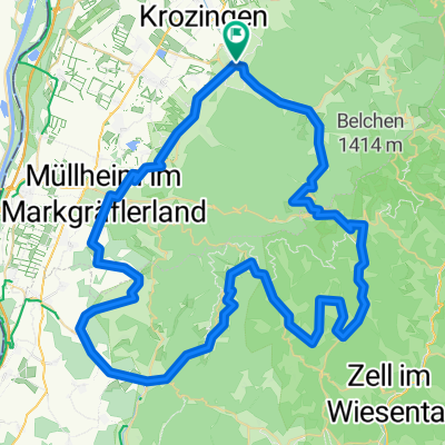
- Staufen (Breisgau) - Sulzburg
- Distance
- 6.6 km
- Ascent
- 130 m
- Descent
- 180 m
- Location
- Sulzburg, Baden-Württemberg, Germany
- Sulzburg-Blauen-Belchen
- Distance
- 97.4 km
- Ascent
- 1,812 m
- Descent
- 1,817 m
- Location
- Sulzburg, Baden-Württemberg, Germany
- Route zu Offenburg
- Distance
- 88.1 km
- Ascent
- 189 m
- Descent
- 318 m
- Location
- Sulzburg, Baden-Württemberg, Germany
- Schwarzwaldtour I
- Distance
- 45.2 km
- Ascent
- 1,189 m
- Descent
- 1,072 m
- Location
- Sulzburg, Baden-Württemberg, Germany
- Sulzburg Kälbelescheuer Münstertal Grunern-Sulzburg
- Distance
- 33.8 km
- Ascent
- 899 m
- Descent
- 898 m
- Location
- Sulzburg, Baden-Württemberg, Germany
- Kälblescheuer
- Distance
- 25.4 km
- Ascent
- 729 m
- Descent
- 730 m
- Location
- Sulzburg, Baden-Württemberg, Germany
Open it in the app