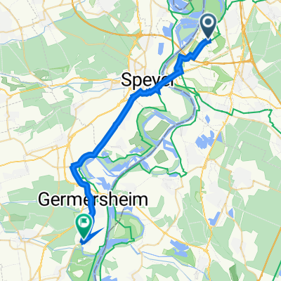
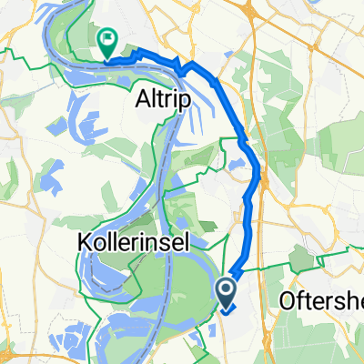
Runde um den Hockenheimring
- 28.1 km
- 59 m
- 59 m
- Ketsch, Baden-Wurttemberg, Germany
A cycling route starting in Ketsch, Baden-Wurttemberg, Germany.
Overview
Little traffic - Busy in the forest on Sundays
created this 13 years ago
Route quality
Track
20.5 km
(73 %)
Quiet road
5.9 km
(21 %)
Paved
19.1 km
(68 %)
Unpaved
8.2 km
(29 %)
Asphalt
18 km
(64 %)
Gravel
4.2 km
(15 %)
Continue with Bikemap
You would like to ride Runde um den Hockenheimring or customize it for your own trip? Here is what you can do with this Bikemap route:
Free trial for 3 days, or one-time payment. More about Bikemap Premium.
Discover more Premium features.
Get Bikemap PremiumFrom our community
Open it in the app